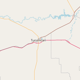
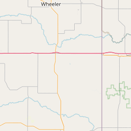
Palo Duro Creek
Map
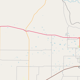
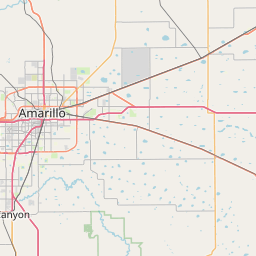
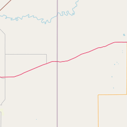
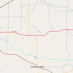
Leaflet | <a href="https://www.openstreetmap.org/copyright">© OpenStreetMap contributors</a>
Item
| Property | Value |
|---|---|
| id | 238661 |
| downstream_mainstem_id | https://geoconnex.us/ref/mainstems/225074 |
| encompassing_mainstem_basins | ['https://geoconnex.us/ref/mainstems/225074'] |
| featuretype | ['https://www.opengis.net/def/schema/hy_features/hyf/HY_FlowPath', 'https://www.opengis.net/def/schema/hy_features/hyf/HY_WaterBody'] |
| fid | 21729 |
| head_2020huc12 | 111201020104 |
| head_nhdpv1_comid | 15941911 |
| head_nhdpv2_comid | https://geoconnex.us/nhdplusv2/comid/15941911 |
| head_nhdpv2huc12 | https://geoconnex.us/nhdplusv2/huc12/111201020104 |
| head_rf1id | 36024 |
| lengthkm | 101.3 |
| name_at_outlet | Palo Duro Creek |
| name_at_outlet_gnis_id | 1375341 |
| new_mainstemid | |
| outlet_2020huc12 | 111201020304 |
| outlet_drainagearea_sqkm | 2588.5 |
| outlet_nhdpv1_comid | 15942219 |
| outlet_nhdpv2_comid | https://geoconnex.us/nhdplusv2/comid/15942219 |
| outlet_nhdpv2huc12 | https://geoconnex.us/nhdplusv2/huc12/111201020304 |
| outlet_rf1id | 36020 |
| superseded | False |
| uri | https://geoconnex.us/ref/mainstems/238661 |
Graph Results
| monitoringLocation | https://sta.geoconnex.dev/collections/USGS/Things/items/'USGS-07295400' |
|---|---|
| siteName | USGS-07295400 |
| datasetDescription | Discharge cubic feet per second / USGS-07295400-0aaa838f344f4c5e84da6fde40126c2d |
| type | Stream |
| url | https://waterdata.usgs.gov/monitoring-location/07295400/#parameterCode=00060 |
| variableMeasured | Discharge |
| variableUnit | ft^3/s |
| measurementTechnique | observation |
| temporalCoverage | 2024-08-30T09:15:00Z/2024-09-09T18:30:00Z |
| distributionName | USGS Instantaneous Values Service |
| distributionURL | https://waterservices.usgs.gov/nwis/iv/?sites=USGS:07295400¶meterCd=00060&format=rdb |
| distributionFormat | text/tab-separated-values |
| wkt | POINT (-102.1506 35.0355055555556) |
| monitoringLocation | https://sta.geoconnex.dev/collections/USGS/Things/items/'USGS-07295400' |
|---|---|
| siteName | USGS-07295400 |
| datasetDescription | Discharge cubic feet per second / USGS-07295400-0aaa838f344f4c5e84da6fde40126c2d |
| type | Stream |
| url | https://waterdata.usgs.gov/monitoring-location/07295400/#parameterCode=00060 |
| variableMeasured | Discharge |
| variableUnit | ft^3/s |
| measurementTechnique | observation |
| temporalCoverage | 2024-08-30T09:15:00Z/2024-09-09T18:30:00Z |
| distributionName | USGS SensorThings API |
| distributionURL | https://labs.waterdata.usgs.gov/sta/v1.1/Datastreams('0aaa838f344f4c5e84da6fde40126c2d')?$expand=Thing,Observations |
| distributionFormat | application/json |
| wkt | POINT (-102.1506 35.0355055555556) |
| monitoringLocation | https://sta.geoconnex.dev/collections/USGS/Things/items/'USGS-07295400' |
|---|---|
| siteName | USGS-07295400 |
| datasetDescription | Gage height / USGS-07295400-48f61824d9904d5c8e1423904b7b1088 |
| type | Stream |
| url | https://waterdata.usgs.gov/monitoring-location/07295400/#parameterCode=00065 |
| variableMeasured | Gage height / USGS-07295400-48f61824d9904d5c8e1423904b7b1088 |
| variableUnit | ft |
| measurementTechnique | observation |
| temporalCoverage | 2024-08-30T09:15:00Z/2024-09-09T18:30:00Z |
| distributionName | USGS SensorThings API |
| distributionURL | https://labs.waterdata.usgs.gov/sta/v1.1/Datastreams('48f61824d9904d5c8e1423904b7b1088')?$expand=Thing,Observations |
| distributionFormat | application/json |
| wkt | POINT (-102.1506 35.0355055555556) |
| monitoringLocation | https://sta.geoconnex.dev/collections/USGS/Things/items/'USGS-07295400' |
|---|---|
| siteName | USGS-07295400 |
| datasetDescription | Gage height / USGS-07295400-48f61824d9904d5c8e1423904b7b1088 |
| type | Stream |
| url | https://waterdata.usgs.gov/monitoring-location/07295400/#parameterCode=00065 |
| variableMeasured | Gage height / USGS-07295400-48f61824d9904d5c8e1423904b7b1088 |
| variableUnit | ft |
| measurementTechnique | observation |
| temporalCoverage | 2024-08-30T09:15:00Z/2024-09-09T18:30:00Z |
| distributionName | USGS Instantaneous Values Service |
| distributionURL | https://waterservices.usgs.gov/nwis/iv/?sites=USGS:07295400¶meterCd=00065&format=rdb |
| distributionFormat | text/tab-separated-values |
| wkt | POINT (-102.1506 35.0355055555556) |
| monitoringLocation | https://sta.geoconnex.dev/collections/USGS/Things/items/'USGS-07295400' |
|---|---|
| siteName | USGS-07295400 |
| datasetDescription | Gage height / USGS-07295400-ddb70b33308340fba4531d68d9c73b05 |
| type | Stream |
| url | https://waterdata.usgs.gov/monitoring-location/07295400/#parameterCode=00065 |
| variableMeasured | Gage height / USGS-07295400-ddb70b33308340fba4531d68d9c73b05 |
| variableUnit | ft |
| measurementTechnique | observation |
| temporalCoverage | 2024-08-30T09:15:00Z/2024-09-09T18:30:00Z |
| distributionName | USGS SensorThings API |
| distributionURL | https://labs.waterdata.usgs.gov/sta/v1.1/Datastreams('ddb70b33308340fba4531d68d9c73b05')?$expand=Thing,Observations |
| distributionFormat | application/json |
| wkt | POINT (-102.1506 35.0355055555556) |
| monitoringLocation | https://sta.geoconnex.dev/collections/USGS/Things/items/'USGS-07295400' |
|---|---|
| siteName | USGS-07295400 |
| datasetDescription | Gage height / USGS-07295400-ddb70b33308340fba4531d68d9c73b05 |
| type | Stream |
| url | https://waterdata.usgs.gov/monitoring-location/07295400/#parameterCode=00065 |
| variableMeasured | Gage height / USGS-07295400-ddb70b33308340fba4531d68d9c73b05 |
| variableUnit | ft |
| measurementTechnique | observation |
| temporalCoverage | 2024-08-30T09:15:00Z/2024-09-09T18:30:00Z |
| distributionName | USGS Instantaneous Values Service |
| distributionURL | https://waterservices.usgs.gov/nwis/iv/?sites=USGS:07295400¶meterCd=00065&format=rdb |
| distributionFormat | text/tab-separated-values |
| wkt | POINT (-102.1506 35.0355055555556) |