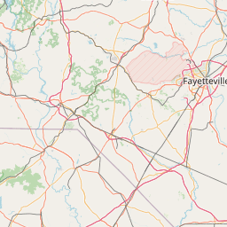
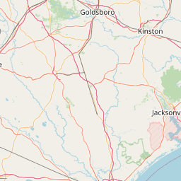
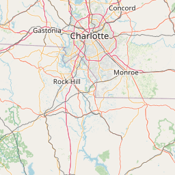
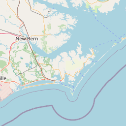
Stewarts Creek
Map
Leaflet | <a href="https://www.openstreetmap.org/copyright">© OpenStreetMap contributors</a>
Item
| Property | Value |
|---|---|
| id | 2409927 |
| downstream_mainstem_id | https://geoconnex.us/ref/mainstems/2408563 |
| encompassing_mainstem_basins | ['https://geoconnex.us/ref/mainstems/2408563', 'https://geoconnex.us/ref/mainstems/2407514', 'https://geoconnex.us/ref/mainstems/2407369'] |
| featuretype | ['https://www.opengis.net/def/schema/hy_features/hyf/HY_FlowPath', 'https://www.opengis.net/def/schema/hy_features/hyf/HY_WaterBody'] |
| fid | 2932 |
| head_2020huc12 | 030300060505 |
| head_nhdpv1_comid | 8812619 |
| head_nhdpv2_comid | https://geoconnex.us/nhdplusv2/comid/8812619 |
| head_nhdpv2huc12 | https://geoconnex.us/nhdplusv2/huc12/030300060505 |
| head_rf1id | 4979 |
| lengthkm | 24.1 |
| name_at_outlet | Stewarts Creek |
| name_at_outlet_gnis_id | 1025728 |
| new_mainstemid | |
| outlet_2020huc12 | 030300060506 |
| outlet_drainagearea_sqkm | 144.5 |
| outlet_nhdpv1_comid | 8814615 |
| outlet_nhdpv2_comid | https://geoconnex.us/nhdplusv2/comid/8814615 |
| outlet_nhdpv2huc12 | https://geoconnex.us/nhdplusv2/huc12/030300060506 |
| outlet_rf1id | 4979 |
| superseded | False |
| uri | https://geoconnex.us/ref/mainstems/2409927 |