Cypress Creek
Map
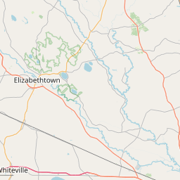
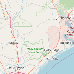
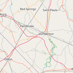
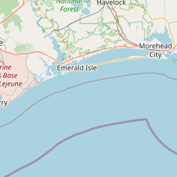
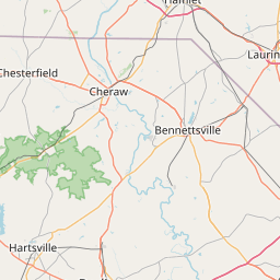
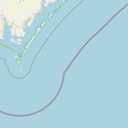
Leaflet | <a href="https://www.openstreetmap.org/copyright">© OpenStreetMap contributors</a>
Item
| Property | Value |
|---|---|
| id | 2413408 |
| downstream_mainstem_id | https://geoconnex.us/ref/mainstems/2408508 |
| encompassing_mainstem_basins | ['https://geoconnex.us/ref/mainstems/2408508', 'https://geoconnex.us/ref/mainstems/2407741', 'https://geoconnex.us/ref/mainstems/2407369'] |
| featuretype | ['https://www.opengis.net/def/schema/hy_features/hyf/HY_FlowPath', 'https://www.opengis.net/def/schema/hy_features/hyf/HY_WaterBody'] |
| fid | 2967 |
| head_2020huc12 | 030300070701 |
| head_nhdpv1_comid | 10528043 |
| head_nhdpv2_comid | https://geoconnex.us/nhdplusv2/comid/10528043 |
| head_nhdpv2huc12 | https://geoconnex.us/nhdplusv2/huc12/030300070701 |
| head_rf1id | None |
| lengthkm | 13.1 |
| name_at_outlet | Cypress Creek |
| name_at_outlet_gnis_id | 983885 |
| new_mainstemid | |
| outlet_2020huc12 | 030300070701 |
| outlet_drainagearea_sqkm | 56.4 |
| outlet_nhdpv1_comid | 10528379 |
| outlet_nhdpv2_comid | https://geoconnex.us/nhdplusv2/comid/10528379 |
| outlet_nhdpv2huc12 | https://geoconnex.us/nhdplusv2/huc12/030300070701 |
| outlet_rf1id | None |
| superseded | False |
| uri | https://geoconnex.us/ref/mainstems/2413408 |