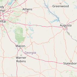
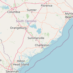
Horse Creek
Map


Leaflet | <a href="https://www.openstreetmap.org/copyright">© OpenStreetMap contributors</a>
Item
| Property | Value |
|---|---|
| id | 2454931 |
| downstream_mainstem_id | https://geoconnex.us/ref/mainstems/2454434 |
| encompassing_mainstem_basins | ['https://geoconnex.us/ref/mainstems/2454434'] |
| featuretype | ['https://www.opengis.net/def/schema/hy_features/hyf/HY_FlowPath', 'https://www.opengis.net/def/schema/hy_features/hyf/HY_WaterBody'] |
| fid | 3714 |
| head_2020huc12 | 030601060201 |
| head_nhdpv1_comid | 22719001 |
| head_nhdpv2_comid | https://geoconnex.us/nhdplusv2/comid/22719001 |
| head_nhdpv2huc12 | https://geoconnex.us/nhdplusv2/huc12/030601060201 |
| head_rf1id | 6314 |
| lengthkm | 40.4 |
| name_at_outlet | Horse Creek |
| name_at_outlet_gnis_id | 1246066 |
| new_mainstemid | |
| outlet_2020huc12 | 030601060205 |
| outlet_drainagearea_sqkm | 418.7 |
| outlet_nhdpv1_comid | 22723993 |
| outlet_nhdpv2_comid | https://geoconnex.us/nhdplusv2/comid/22723993 |
| outlet_nhdpv2huc12 | https://geoconnex.us/nhdplusv2/huc12/030601060205 |
| outlet_rf1id | 6309 |
| superseded | False |
| uri | https://geoconnex.us/ref/mainstems/2454931 |