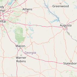
Boggy Branch
Map


Leaflet | <a href="https://www.openstreetmap.org/copyright">© OpenStreetMap contributors</a>
Item
| Property | Value |
|---|---|
| id | 2456236 |
| downstream_mainstem_id | https://geoconnex.us/ref/mainstems/2454434 |
| encompassing_mainstem_basins | ['https://geoconnex.us/ref/mainstems/2454434'] |
| featuretype | ['https://www.opengis.net/def/schema/hy_features/hyf/HY_FlowPath', 'https://www.opengis.net/def/schema/hy_features/hyf/HY_WaterBody'] |
| fid | 3756 |
| head_2020huc12 | 030601090105 |
| head_nhdpv1_comid | 20103909 |
| head_nhdpv2_comid | https://geoconnex.us/nhdplusv2/comid/20103909 |
| head_nhdpv2huc12 | https://geoconnex.us/nhdplusv2/huc12/030601090105 |
| head_rf1id | 6390 |
| lengthkm | 31.3 |
| name_at_outlet | Boggy Branch |
| name_at_outlet_gnis_id | 1246929 |
| new_mainstemid | |
| outlet_2020huc12 | 030601090105 |
| outlet_drainagearea_sqkm | 194.3 |
| outlet_nhdpv1_comid | 20104131 |
| outlet_nhdpv2_comid | https://geoconnex.us/nhdplusv2/comid/20104131 |
| outlet_nhdpv2huc12 | https://geoconnex.us/nhdplusv2/huc12/030601090105 |
| outlet_rf1id | 6390 |
| superseded | False |
| uri | https://geoconnex.us/ref/mainstems/2456236 |