Upton Creek
Map
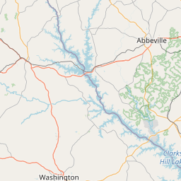
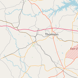
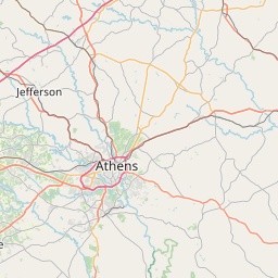
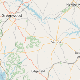
Leaflet | <a href="https://www.openstreetmap.org/copyright">© OpenStreetMap contributors</a>
Item
| Property | Value |
|---|---|
| id | 2456960 |
| downstream_mainstem_id | https://geoconnex.us/ref/mainstems/2454970 |
| encompassing_mainstem_basins | ['https://geoconnex.us/ref/mainstems/2454970', 'https://geoconnex.us/ref/mainstems/2454434'] |
| featuretype | ['https://www.opengis.net/def/schema/hy_features/hyf/HY_FlowPath', 'https://www.opengis.net/def/schema/hy_features/hyf/HY_WaterBody'] |
| fid | 3701 |
| head_2020huc12 | 030601050205 |
| head_nhdpv1_comid | 6289367 |
| head_nhdpv2_comid | https://geoconnex.us/nhdplusv2/comid/6289367 |
| head_nhdpv2huc12 | https://geoconnex.us/nhdplusv2/huc12/030601050205 |
| head_rf1id | None |
| lengthkm | 13.9 |
| name_at_outlet | Upton Creek |
| name_at_outlet_gnis_id | 324632 |
| new_mainstemid | |
| outlet_2020huc12 | 030601050205 |
| outlet_drainagearea_sqkm | 78.8 |
| outlet_nhdpv1_comid | 6290235 |
| outlet_nhdpv2_comid | https://geoconnex.us/nhdplusv2/comid/6290235 |
| outlet_nhdpv2huc12 | https://geoconnex.us/nhdplusv2/huc12/030601050205 |
| outlet_rf1id | None |
| superseded | False |
| uri | https://geoconnex.us/ref/mainstems/2456960 |