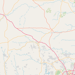
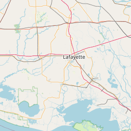
Caney Creek
Map
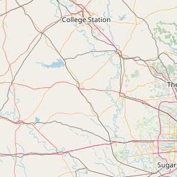
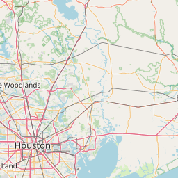
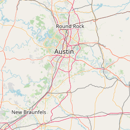
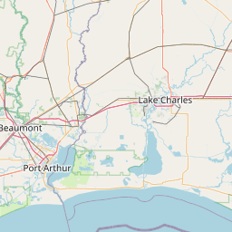
Leaflet | <a href="https://www.openstreetmap.org/copyright">© OpenStreetMap contributors</a>
Item
| Property | Value |
|---|---|
| id | 2600687 |
| downstream_mainstem_id | https://geoconnex.us/ref/mainstems/2600466 |
| encompassing_mainstem_basins | ['https://geoconnex.us/ref/mainstems/2600466', 'https://geoconnex.us/ref/mainstems/2600464'] |
| featuretype | ['https://www.opengis.net/def/schema/hy_features/hyf/HY_FlowPath', 'https://www.opengis.net/def/schema/hy_features/hyf/HY_WaterBody'] |
| fid | 23119 |
| head_2020huc12 | 120401010203 |
| head_nhdpv1_comid | 1466434 |
| head_nhdpv2_comid | https://geoconnex.us/nhdplusv2/comid/1466434 |
| head_nhdpv2huc12 | https://geoconnex.us/nhdplusv2/huc12/120401010203 |
| head_rf1id | 40144 |
| lengthkm | 31.6 |
| name_at_outlet | Caney Creek |
| name_at_outlet_gnis_id | 1381583 |
| new_mainstemid | |
| outlet_2020huc12 | 120401010203 |
| outlet_drainagearea_sqkm | 132.5 |
| outlet_nhdpv1_comid | 1468338 |
| outlet_nhdpv2_comid | https://geoconnex.us/nhdplusv2/comid/1468338 |
| outlet_nhdpv2huc12 | https://geoconnex.us/nhdplusv2/huc12/120401010203 |
| outlet_rf1id | 40150 |
| superseded | False |
| uri | https://geoconnex.us/ref/mainstems/2600687 |
Graph Results
| monitoringLocation | https://sta.geoconnex.dev/collections/USGS/Things/items/'USGS-08067575' |
|---|---|
| siteName | USGS-08067575 |
| datasetDescription | Gage height feet / USGS-08067575-c9f9332d1bee45bd9b77ba007e42fb4c |
| type | Stream |
| url | https://waterdata.usgs.gov/monitoring-location/08067575/#parameterCode=00065 |
| variableMeasured | Gage height |
| variableUnit | ft |
| measurementTechnique | observation |
| temporalCoverage | 2024-08-30T09:15:00Z/2024-09-09T18:15:00Z |
| distributionName | USGS Instantaneous Values Service |
| distributionURL | https://waterservices.usgs.gov/nwis/iv/?sites=USGS:08067575¶meterCd=00065&format=rdb |
| distributionFormat | text/tab-separated-values |
| wkt | POINT (-95.67933055555557 30.528291666666664) |
| monitoringLocation | https://sta.geoconnex.dev/collections/USGS/Things/items/'USGS-08067575' |
|---|---|
| siteName | USGS-08067575 |
| datasetDescription | Gage height feet / USGS-08067575-c9f9332d1bee45bd9b77ba007e42fb4c |
| type | Stream |
| url | https://waterdata.usgs.gov/monitoring-location/08067575/#parameterCode=00065 |
| variableMeasured | Gage height |
| variableUnit | ft |
| measurementTechnique | observation |
| temporalCoverage | 2024-08-30T09:15:00Z/2024-09-09T18:15:00Z |
| distributionName | USGS SensorThings API |
| distributionURL | https://labs.waterdata.usgs.gov/sta/v1.1/Datastreams('c9f9332d1bee45bd9b77ba007e42fb4c')?$expand=Thing,Observations |
| distributionFormat | application/json |
| wkt | POINT (-95.67933055555557 30.528291666666664) |
| monitoringLocation | https://sta.geoconnex.dev/collections/USGS/Things/items/'USGS-08067575' |
|---|---|
| siteName | USGS-08067575 |
| datasetDescription | Discharge cubic feet per second / USGS-08067575-ad65648ccb334f88927bdb5d1172cd9f |
| type | Stream |
| url | https://waterdata.usgs.gov/monitoring-location/08067575/#parameterCode=00060 |
| variableMeasured | Discharge |
| variableUnit | ft^3/s |
| measurementTechnique | observation |
| temporalCoverage | 2024-08-30T09:15:00Z/2024-09-09T18:15:00Z |
| distributionName | USGS Instantaneous Values Service |
| distributionURL | https://waterservices.usgs.gov/nwis/iv/?sites=USGS:08067575¶meterCd=00060&format=rdb |
| distributionFormat | text/tab-separated-values |
| wkt | POINT (-95.67933055555557 30.528291666666664) |
| monitoringLocation | https://sta.geoconnex.dev/collections/USGS/Things/items/'USGS-08067575' |
|---|---|
| siteName | USGS-08067575 |
| datasetDescription | Discharge cubic feet per second / USGS-08067575-ad65648ccb334f88927bdb5d1172cd9f |
| type | Stream |
| url | https://waterdata.usgs.gov/monitoring-location/08067575/#parameterCode=00060 |
| variableMeasured | Discharge |
| variableUnit | ft^3/s |
| measurementTechnique | observation |
| temporalCoverage | 2024-08-30T09:15:00Z/2024-09-09T18:15:00Z |
| distributionName | USGS SensorThings API |
| distributionURL | https://labs.waterdata.usgs.gov/sta/v1.1/Datastreams('ad65648ccb334f88927bdb5d1172cd9f')?$expand=Thing,Observations |
| distributionFormat | application/json |
| wkt | POINT (-95.67933055555557 30.528291666666664) |