Old River
Map

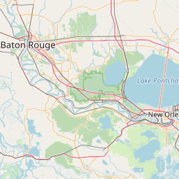
Leaflet | <a href="https://www.openstreetmap.org/copyright">© OpenStreetMap contributors</a>
Item
| Property | Value |
|---|---|
| id | 2603804 |
| downstream_mainstem_id | |
| encompassing_mainstem_basins | |
| featuretype | ['https://www.opengis.net/def/schema/hy_features/hyf/HY_FlowPath', 'https://www.opengis.net/def/schema/hy_features/hyf/HY_WaterBody'] |
| fid | 34048 |
| head_2020huc12 | |
| head_nhdpv1_comid | 8331828 |
| head_nhdpv2_comid | https://geoconnex.us/nhdplusv2/comid/8331828 |
| head_nhdpv2huc12 | |
| head_rf1id | None |
| lengthkm | 18.8 |
| name_at_outlet | Old River |
| name_at_outlet_gnis_id | 537846 |
| new_mainstemid | ['https://geoconnex.us/ref/mainstems/2555361'] |
| outlet_2020huc12 | |
| outlet_drainagearea_sqkm | 103.0 |
| outlet_nhdpv1_comid | 8332502 |
| outlet_nhdpv2_comid | https://geoconnex.us/nhdplusv2/comid/8332502 |
| outlet_nhdpv2huc12 | |
| outlet_rf1id | None |
| superseded | True |
| uri | https://geoconnex.us/ref/mainstems/2603804 |