Rough Creek
Map
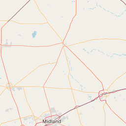
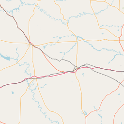
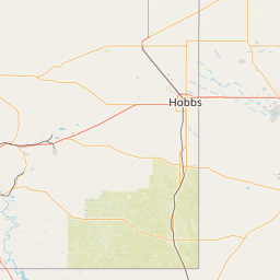
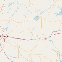
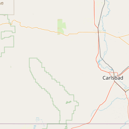
Leaflet | <a href="https://www.openstreetmap.org/copyright">© OpenStreetMap contributors</a>
Item
| Property | Value |
|---|---|
| id | 2627852 |
| downstream_mainstem_id | https://geoconnex.us/ref/mainstems/2625634 |
| encompassing_mainstem_basins | ['https://geoconnex.us/ref/mainstems/2625634', 'https://geoconnex.us/ref/mainstems/2625170'] |
| featuretype | ['https://www.opengis.net/def/schema/hy_features/hyf/HY_FlowPath', 'https://www.opengis.net/def/schema/hy_features/hyf/HY_WaterBody'] |
| fid | 23225 |
| head_2020huc12 | 120500040702 |
| head_nhdpv1_comid | 13702777 |
| head_nhdpv2_comid | https://geoconnex.us/nhdplusv2/comid/13702777 |
| head_nhdpv2huc12 | https://geoconnex.us/nhdplusv2/huc12/120500040702 |
| head_rf1id | 38561 |
| lengthkm | 68.8 |
| name_at_outlet | Rough Creek |
| name_at_outlet_gnis_id | 1345644 |
| new_mainstemid | |
| outlet_2020huc12 | 120500040704 |
| outlet_drainagearea_sqkm | 554.5 |
| outlet_nhdpv1_comid | 13702725 |
| outlet_nhdpv2_comid | https://geoconnex.us/nhdplusv2/comid/13702725 |
| outlet_nhdpv2huc12 | https://geoconnex.us/nhdplusv2/huc12/120500040704 |
| outlet_rf1id | 38560 |
| superseded | False |
| uri | https://geoconnex.us/ref/mainstems/2627852 |