Bull Run Slough
Map
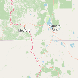
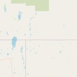
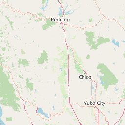
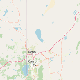
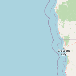

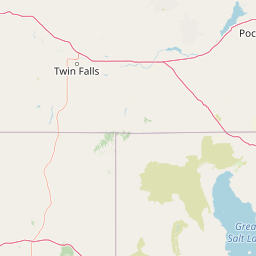

Leaflet | <a href="https://www.openstreetmap.org/copyright">© OpenStreetMap contributors</a>
Item
| Property | Value |
|---|---|
| id | 2890 |
| downstream_mainstem_id | https://geoconnex.us/ref/mainstems/1 |
| encompassing_mainstem_basins | ['https://geoconnex.us/ref/mainstems/1'] |
| featuretype | ['https://www.opengis.net/def/schema/hy_features/hyf/HY_FlowPath', 'https://www.opengis.net/def/schema/hy_features/hyf/HY_WaterBody'] |
| fid | 32345 |
| head_2020huc12 | 180200021901 |
| head_nhdpv1_comid | 7925563 |
| head_nhdpv2_comid | https://geoconnex.us/nhdplusv2/comid/7925563 |
| head_nhdpv2huc12 | https://geoconnex.us/nhdplusv2/huc12/180200021901 |
| head_rf1id | None |
| lengthkm | 36.8 |
| name_at_outlet | Bull Run Slough |
| name_at_outlet_gnis_id | 257671 |
| new_mainstemid | |
| outlet_2020huc12 | 180200021901 |
| outlet_drainagearea_sqkm | 945.4 |
| outlet_nhdpv1_comid | 7926591 |
| outlet_nhdpv2_comid | https://geoconnex.us/nhdplusv2/comid/7926591 |
| outlet_nhdpv2huc12 | https://geoconnex.us/nhdplusv2/huc12/180200021901 |
| outlet_rf1id | None |
| superseded | False |
| uri | https://geoconnex.us/ref/mainstems/2890 |