Spring Creek
Map
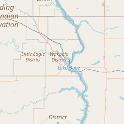
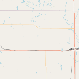
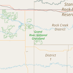
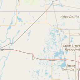
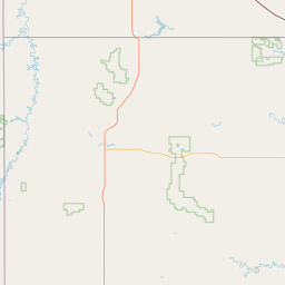
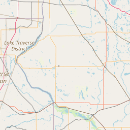
Leaflet | <a href="https://www.openstreetmap.org/copyright">© OpenStreetMap contributors</a>
Item
| Property | Value |
|---|---|
| id | 362883 |
| downstream_mainstem_id | https://geoconnex.us/ref/mainstems/312532 |
| encompassing_mainstem_basins | ['https://geoconnex.us/ref/mainstems/312532', 'https://geoconnex.us/ref/mainstems/312091'] |
| featuretype | ['https://www.opengis.net/def/schema/hy_features/hyf/HY_FlowPath', 'https://www.opengis.net/def/schema/hy_features/hyf/HY_WaterBody'] |
| fid | 16814 |
| head_2020huc12 | 101301020801 |
| head_nhdpv1_comid | 14495564 |
| head_nhdpv2_comid | https://geoconnex.us/nhdplusv2/comid/14495564 |
| head_nhdpv2huc12 | https://geoconnex.us/nhdplusv2/huc12/101301020801 |
| head_rf1id | 26486 |
| lengthkm | 158.1 |
| name_at_outlet | Spring Creek |
| name_at_outlet_gnis_id | 1266910 |
| new_mainstemid | |
| outlet_2020huc12 | 101301021105 |
| outlet_drainagearea_sqkm | 2311.4 |
| outlet_nhdpv1_comid | 14492188 |
| outlet_nhdpv2_comid | https://geoconnex.us/nhdplusv2/comid/14492188 |
| outlet_nhdpv2huc12 | https://geoconnex.us/nhdplusv2/huc12/101301021105 |
| outlet_rf1id | 28247 |
| superseded | False |
| uri | https://geoconnex.us/ref/mainstems/362883 |