Crane Creek
Map


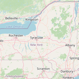
Leaflet | <a href="https://www.openstreetmap.org/copyright">© OpenStreetMap contributors</a>
Item
| Property | Value |
|---|---|
| id | 363479 |
| downstream_mainstem_id | https://geoconnex.us/ref/mainstems/358247 |
| encompassing_mainstem_basins | ['https://geoconnex.us/ref/mainstems/358247', 'https://geoconnex.us/ref/mainstems/336724', 'https://geoconnex.us/ref/mainstems/312091'] |
| featuretype | ['https://www.opengis.net/def/schema/hy_features/hyf/HY_FlowPath', 'https://www.opengis.net/def/schema/hy_features/hyf/HY_WaterBody'] |
| fid | 11166 |
| head_2020huc12 | 070600040101 |
| head_nhdpv1_comid | 13309465 |
| head_nhdpv2_comid | https://geoconnex.us/nhdplusv2/comid/13309465 |
| head_nhdpv2huc12 | https://geoconnex.us/nhdplusv2/huc12/070600040101 |
| head_rf1id | 18425 |
| lengthkm | 95.9 |
| name_at_outlet | Crane Creek |
| name_at_outlet_gnis_id | 455696 |
| new_mainstemid | |
| outlet_2020huc12 | 070600040105 |
| outlet_drainagearea_sqkm | 554.6 |
| outlet_nhdpv1_comid | 13309307 |
| outlet_nhdpv2_comid | https://geoconnex.us/nhdplusv2/comid/13309307 |
| outlet_nhdpv2huc12 | https://geoconnex.us/nhdplusv2/huc12/070600040105 |
| outlet_rf1id | 18424 |
| superseded | False |
| uri | https://geoconnex.us/ref/mainstems/363479 |