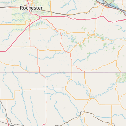
South Branch Middle Fork Zumbro River
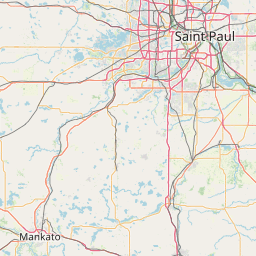
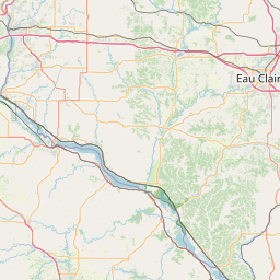
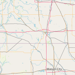
Map
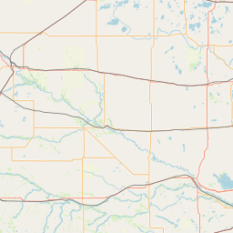
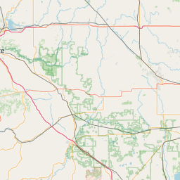
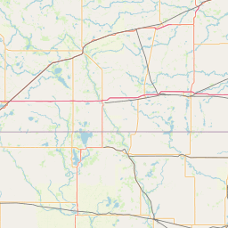
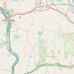
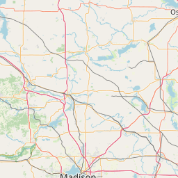
Leaflet | <a href="https://www.openstreetmap.org/copyright">© OpenStreetMap contributors</a>
Item
| Property | Value |
|---|---|
| id | 377042 |
| downstream_mainstem_id | https://geoconnex.us/ref/mainstems/372557 |
| encompassing_mainstem_basins | ['https://geoconnex.us/ref/mainstems/372557', 'https://geoconnex.us/ref/mainstems/348219', 'https://geoconnex.us/ref/mainstems/312091'] |
| featuretype | ['https://www.opengis.net/def/schema/hy_features/hyf/HY_FlowPath', 'https://www.opengis.net/def/schema/hy_features/hyf/HY_WaterBody'] |
| fid | 10854 |
| head_2020huc12 | 070400020307 |
| head_nhdpv1_comid | 2033249 |
| head_nhdpv2_comid | https://geoconnex.us/nhdplusv2/comid/2033249 |
| head_nhdpv2huc12 | https://geoconnex.us/nhdplusv2/huc12/070400020307 |
| head_rf1id | 18068 |
| lengthkm | 72.3 |
| name_at_outlet | South Branch Middle Fork Zumbro River |
| name_at_outlet_gnis_id | 659999 |
| new_mainstemid | |
| outlet_2020huc12 | 070400040205 |
| outlet_drainagearea_sqkm | 569.9 |
| outlet_nhdpv1_comid | 2442450 |
| outlet_nhdpv2_comid | https://geoconnex.us/nhdplusv2/comid/2442450 |
| outlet_nhdpv2huc12 | https://geoconnex.us/nhdplusv2/huc12/070400040205 |
| outlet_rf1id | 18067 |
| superseded | False |
| uri | https://geoconnex.us/ref/mainstems/377042 |