Muddy Creek
Map


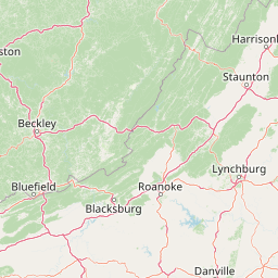
Leaflet | <a href="https://www.openstreetmap.org/copyright">© OpenStreetMap contributors</a>
Item
| Property | Value |
|---|---|
| id | 381699 |
| downstream_mainstem_id | https://geoconnex.us/ref/mainstems/327120 |
| encompassing_mainstem_basins | ['https://geoconnex.us/ref/mainstems/327120', 'https://geoconnex.us/ref/mainstems/314849', 'https://geoconnex.us/ref/mainstems/312091'] |
| featuretype | ['https://www.opengis.net/def/schema/hy_features/hyf/HY_FlowPath', 'https://www.opengis.net/def/schema/hy_features/hyf/HY_WaterBody'] |
| fid | 8908 |
| head_2020huc12 | 051100030101 |
| head_nhdpv1_comid | 11631019 |
| head_nhdpv2_comid | https://geoconnex.us/nhdplusv2/comid/11631019 |
| head_nhdpv2huc12 | https://geoconnex.us/nhdplusv2/huc12/051100030101 |
| head_rf1id | 14633 |
| lengthkm | 38.5 |
| name_at_outlet | Muddy Creek |
| name_at_outlet_gnis_id | 499036 |
| new_mainstemid | |
| outlet_2020huc12 | 051100030105 |
| outlet_drainagearea_sqkm | 264.1 |
| outlet_nhdpv1_comid | 11628881 |
| outlet_nhdpv2_comid | https://geoconnex.us/nhdplusv2/comid/11628881 |
| outlet_nhdpv2huc12 | https://geoconnex.us/nhdplusv2/huc12/051100030105 |
| outlet_rf1id | 14631 |
| superseded | False |
| uri | https://geoconnex.us/ref/mainstems/381699 |