Watonwan River
Map
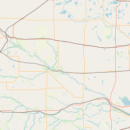
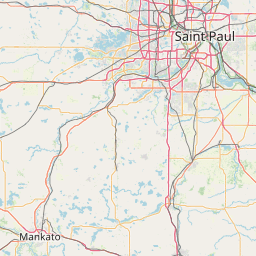
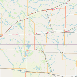
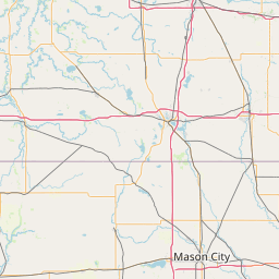
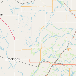
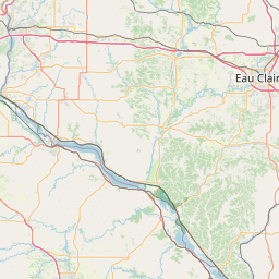
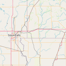
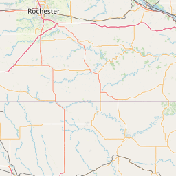
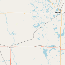
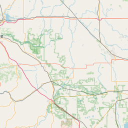
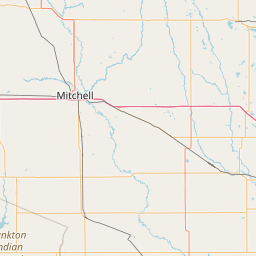
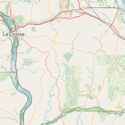
Leaflet | <a href="https://www.openstreetmap.org/copyright">© OpenStreetMap contributors</a>
Item
| Property | Value |
|---|---|
| id | 385058 |
| downstream_mainstem_id | https://geoconnex.us/ref/mainstems/365119 |
| encompassing_mainstem_basins | ['https://geoconnex.us/ref/mainstems/365119', 'https://geoconnex.us/ref/mainstems/326740', 'https://geoconnex.us/ref/mainstems/312091'] |
| featuretype | ['https://www.opengis.net/def/schema/hy_features/hyf/HY_FlowPath', 'https://www.opengis.net/def/schema/hy_features/hyf/HY_WaterBody'] |
| fid | 10693 |
| head_2020huc12 | 070200100101 |
| head_nhdpv1_comid | 2424351 |
| head_nhdpv2_comid | https://geoconnex.us/nhdplusv2/comid/2424351 |
| head_nhdpv2huc12 | https://geoconnex.us/nhdplusv2/huc12/070200100101 |
| head_rf1id | 17810 |
| lengthkm | 163.2 |
| name_at_outlet | Watonwan River |
| name_at_outlet_gnis_id | 653842 |
| new_mainstemid | |
| outlet_2020huc12 | 070200100606 |
| outlet_drainagearea_sqkm | 2262.8 |
| outlet_nhdpv1_comid | 2423579 |
| outlet_nhdpv2_comid | https://geoconnex.us/nhdplusv2/comid/2423579 |
| outlet_nhdpv2huc12 | https://geoconnex.us/nhdplusv2/huc12/070200100606 |
| outlet_rf1id | 17805 |
| superseded | False |
| uri | https://geoconnex.us/ref/mainstems/385058 |
Graph Results
| monitoringLocation | https://sta.geoconnex.dev/collections/USGS/Things/items/'USGS-05319500' |
|---|---|
| siteName | USGS-05319500 |
| datasetDescription | Discharge / USGS-05319500-cb3efd44beee44ccbd34ed8458fc7c2d |
| type | Stream |
| url | https://waterdata.usgs.gov/monitoring-location/05319500/#parameterCode=00060 |
| variableMeasured | Discharge / USGS-05319500-cb3efd44beee44ccbd34ed8458fc7c2d |
| variableUnit | ft^3/s |
| measurementTechnique | observation |
| temporalCoverage | 2024-08-30T09:15:00Z/2024-09-09T18:30:00Z |
| distributionName | USGS Instantaneous Values Service |
| distributionURL | https://waterservices.usgs.gov/nwis/iv/?sites=USGS:05319500¶meterCd=00060&format=rdb |
| distributionFormat | text/tab-separated-values |
| wkt | POINT (-94.195514400515 44.0463521458363) |
| monitoringLocation | https://sta.geoconnex.dev/collections/USGS/Things/items/'USGS-05319500' |
|---|---|
| siteName | USGS-05319500 |
| datasetDescription | Discharge / USGS-05319500-cb3efd44beee44ccbd34ed8458fc7c2d |
| type | Stream |
| url | https://waterdata.usgs.gov/monitoring-location/05319500/#parameterCode=00060 |
| variableMeasured | Discharge / USGS-05319500-cb3efd44beee44ccbd34ed8458fc7c2d |
| variableUnit | ft^3/s |
| measurementTechnique | observation |
| temporalCoverage | 2024-08-30T09:15:00Z/2024-09-09T18:30:00Z |
| distributionName | USGS SensorThings API |
| distributionURL | https://labs.waterdata.usgs.gov/sta/v1.1/Datastreams('cb3efd44beee44ccbd34ed8458fc7c2d')?$expand=Thing,Observations |
| distributionFormat | application/json |
| wkt | POINT (-94.195514400515 44.0463521458363) |
| monitoringLocation | https://sta.geoconnex.dev/collections/USGS/Things/items/'USGS-05319500' |
|---|---|
| siteName | USGS-05319500 |
| datasetDescription | Stream water level elevation above NAVD 1988 in feet / USGS-05319500-7df167215ce34b1498865e97501a2c5b |
| type | Stream |
| url | https://waterdata.usgs.gov/monitoring-location/05319500/#parameterCode=63160 |
| variableMeasured | Stream water level elevation above NAVD 1988 |
| variableUnit | ft |
| measurementTechnique | observation |
| temporalCoverage | 2024-08-30T09:15:00Z/2024-09-09T18:30:00Z |
| distributionName | USGS Instantaneous Values Service |
| distributionURL | https://waterservices.usgs.gov/nwis/iv/?sites=USGS:05319500¶meterCd=63160&format=rdb |
| distributionFormat | text/tab-separated-values |
| wkt | POINT (-94.195514400515 44.0463521458363) |
| monitoringLocation | https://sta.geoconnex.dev/collections/USGS/Things/items/'USGS-05319500' |
|---|---|
| siteName | USGS-05319500 |
| datasetDescription | Stream water level elevation above NAVD 1988 in feet / USGS-05319500-7df167215ce34b1498865e97501a2c5b |
| type | Stream |
| url | https://waterdata.usgs.gov/monitoring-location/05319500/#parameterCode=63160 |
| variableMeasured | Stream water level elevation above NAVD 1988 |
| variableUnit | ft |
| measurementTechnique | observation |
| temporalCoverage | 2024-08-30T09:15:00Z/2024-09-09T18:30:00Z |
| distributionName | USGS SensorThings API |
| distributionURL | https://labs.waterdata.usgs.gov/sta/v1.1/Datastreams('7df167215ce34b1498865e97501a2c5b')?$expand=Thing,Observations |
| distributionFormat | application/json |
| wkt | POINT (-94.195514400515 44.0463521458363) |
| monitoringLocation | https://sta.geoconnex.dev/collections/USGS/Things/items/'USGS-05319500' |
|---|---|
| siteName | USGS-05319500 |
| datasetDescription | Gage height feet / USGS-05319500-88b1af68a6644c629cecebf7b827e556 |
| type | Stream |
| url | https://waterdata.usgs.gov/monitoring-location/05319500/#parameterCode=00065 |
| variableMeasured | Gage height |
| variableUnit | ft |
| measurementTechnique | observation |
| temporalCoverage | 2024-08-30T09:15:00Z/2024-09-09T18:30:00Z |
| distributionName | USGS Instantaneous Values Service |
| distributionURL | https://waterservices.usgs.gov/nwis/iv/?sites=USGS:05319500¶meterCd=00065&format=rdb |
| distributionFormat | text/tab-separated-values |
| wkt | POINT (-94.195514400515 44.0463521458363) |
| monitoringLocation | https://sta.geoconnex.dev/collections/USGS/Things/items/'USGS-05319500' |
|---|---|
| siteName | USGS-05319500 |
| datasetDescription | Gage height feet / USGS-05319500-88b1af68a6644c629cecebf7b827e556 |
| type | Stream |
| url | https://waterdata.usgs.gov/monitoring-location/05319500/#parameterCode=00065 |
| variableMeasured | Gage height |
| variableUnit | ft |
| measurementTechnique | observation |
| temporalCoverage | 2024-08-30T09:15:00Z/2024-09-09T18:30:00Z |
| distributionName | USGS SensorThings API |
| distributionURL | https://labs.waterdata.usgs.gov/sta/v1.1/Datastreams('88b1af68a6644c629cecebf7b827e556')?$expand=Thing,Observations |
| distributionFormat | application/json |
| wkt | POINT (-94.195514400515 44.0463521458363) |