Tillatoba Creek
Map

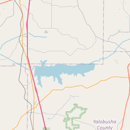
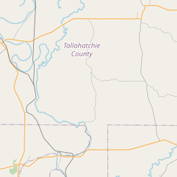
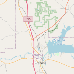
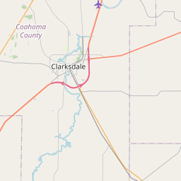
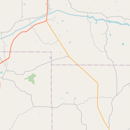
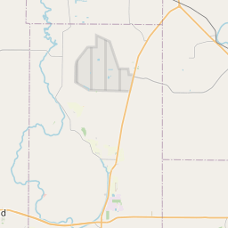
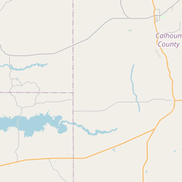
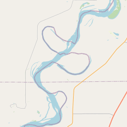
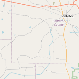

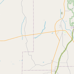
Leaflet | <a href="https://www.openstreetmap.org/copyright">© OpenStreetMap contributors</a>
Item
| Property | Value |
|---|---|
| id | 389799 |
| downstream_mainstem_id | https://geoconnex.us/ref/mainstems/329560 |
| encompassing_mainstem_basins | ['https://geoconnex.us/ref/mainstems/329560', 'https://geoconnex.us/ref/mainstems/312091'] |
| featuretype | ['https://www.opengis.net/def/schema/hy_features/hyf/HY_FlowPath', 'https://www.opengis.net/def/schema/hy_features/hyf/HY_WaterBody'] |
| fid | 13213 |
| head_2020huc12 | 080302020303 |
| head_nhdpv1_comid | 18042332 |
| head_nhdpv2_comid | https://geoconnex.us/nhdplusv2/comid/18042332 |
| head_nhdpv2huc12 | https://geoconnex.us/nhdplusv2/huc12/080302020303 |
| head_rf1id | 21063 |
| lengthkm | 49.2 |
| name_at_outlet | Tillatoba Creek |
| name_at_outlet_gnis_id | 678759 |
| new_mainstemid | |
| outlet_2020huc12 | 080302020305 |
| outlet_drainagearea_sqkm | 447.0 |
| outlet_nhdpv1_comid | 18045434 |
| outlet_nhdpv2_comid | https://geoconnex.us/nhdplusv2/comid/18045434 |
| outlet_nhdpv2huc12 | https://geoconnex.us/nhdplusv2/huc12/080302020305 |
| outlet_rf1id | 21060 |
| superseded | False |
| uri | https://geoconnex.us/ref/mainstems/389799 |