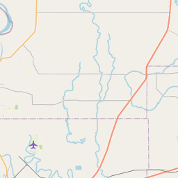
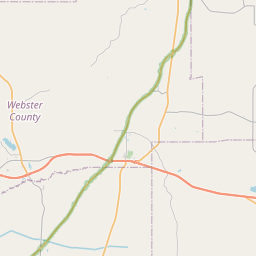
Pelucia Bayou
Map
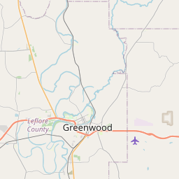
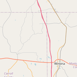
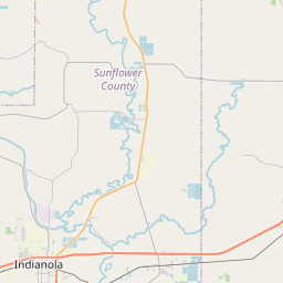
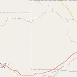
Leaflet | <a href="https://www.openstreetmap.org/copyright">© OpenStreetMap contributors</a>
Item
| Property | Value |
|---|---|
| id | 395651 |
| downstream_mainstem_id | https://geoconnex.us/ref/mainstems/341489 |
| encompassing_mainstem_basins | ['https://geoconnex.us/ref/mainstems/341489', 'https://geoconnex.us/ref/mainstems/329560', 'https://geoconnex.us/ref/mainstems/312091'] |
| featuretype | ['https://www.opengis.net/def/schema/hy_features/hyf/HY_FlowPath', 'https://www.opengis.net/def/schema/hy_features/hyf/HY_WaterBody'] |
| fid | 13251 |
| head_2020huc12 | 080302050801 |
| head_nhdpv1_comid | 18019586 |
| head_nhdpv2_comid | https://geoconnex.us/nhdplusv2/comid/18019586 |
| head_nhdpv2huc12 | https://geoconnex.us/nhdplusv2/huc12/080302050801 |
| head_rf1id | 21124 |
| lengthkm | 54.8 |
| name_at_outlet | Pelucia Bayou |
| name_at_outlet_gnis_id | 675426 |
| new_mainstemid | |
| outlet_2020huc12 | 080302050804 |
| outlet_drainagearea_sqkm | 323.8 |
| outlet_nhdpv1_comid | 18022280 |
| outlet_nhdpv2_comid | https://geoconnex.us/nhdplusv2/comid/18022280 |
| outlet_nhdpv2huc12 | https://geoconnex.us/nhdplusv2/huc12/080302050804 |
| outlet_rf1id | 21124 |
| superseded | False |
| uri | https://geoconnex.us/ref/mainstems/395651 |