Cane Creek
Map


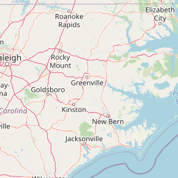
Leaflet | <a href="https://www.openstreetmap.org/copyright">© OpenStreetMap contributors</a>
Item
| Property | Value |
|---|---|
| id | 396030 |
| downstream_mainstem_id | https://geoconnex.us/ref/mainstems/349840 |
| encompassing_mainstem_basins | ['https://geoconnex.us/ref/mainstems/349840', 'https://geoconnex.us/ref/mainstems/319580', 'https://geoconnex.us/ref/mainstems/314849', 'https://geoconnex.us/ref/mainstems/312091'] |
| featuretype | ['https://www.opengis.net/def/schema/hy_features/hyf/HY_FlowPath', 'https://www.opengis.net/def/schema/hy_features/hyf/HY_WaterBody'] |
| fid | 9543 |
| head_2020huc12 | 051301080201 |
| head_nhdpv1_comid | 18424039 |
| head_nhdpv2_comid | https://geoconnex.us/nhdplusv2/comid/18424039 |
| head_nhdpv2huc12 | https://geoconnex.us/nhdplusv2/huc12/051301080201 |
| head_rf1id | 15350 |
| lengthkm | 54.1 |
| name_at_outlet | Cane Creek |
| name_at_outlet_gnis_id | 1279516 |
| new_mainstemid | |
| outlet_2020huc12 | 051301080205 |
| outlet_drainagearea_sqkm | 422.3 |
| outlet_nhdpv1_comid | 18432889 |
| outlet_nhdpv2_comid | https://geoconnex.us/nhdplusv2/comid/18432889 |
| outlet_nhdpv2huc12 | https://geoconnex.us/nhdplusv2/huc12/051301080205 |
| outlet_rf1id | 15346 |
| superseded | False |
| uri | https://geoconnex.us/ref/mainstems/396030 |