Buck Creek
Map


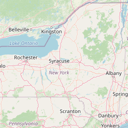
Leaflet | <a href="https://www.openstreetmap.org/copyright">© OpenStreetMap contributors</a>
Item
| Property | Value |
|---|---|
| id | 399924 |
| downstream_mainstem_id | https://geoconnex.us/ref/mainstems/328798 |
| encompassing_mainstem_basins | ['https://geoconnex.us/ref/mainstems/328798', 'https://geoconnex.us/ref/mainstems/312091'] |
| featuretype | ['https://www.opengis.net/def/schema/hy_features/hyf/HY_FlowPath', 'https://www.opengis.net/def/schema/hy_features/hyf/HY_WaterBody'] |
| fid | 11415 |
| head_2020huc12 | 070801020504 |
| head_nhdpv1_comid | 6948480 |
| head_nhdpv2_comid | https://geoconnex.us/nhdplusv2/comid/6948480 |
| head_nhdpv2huc12 | https://geoconnex.us/nhdplusv2/huc12/070801020504 |
| head_rf1id | 18731 |
| lengthkm | 63.3 |
| name_at_outlet | Buck Creek |
| name_at_outlet_gnis_id | 454918 |
| new_mainstemid | |
| outlet_2020huc12 | 070801020505 |
| outlet_drainagearea_sqkm | 544.1 |
| outlet_nhdpv1_comid | 6949408 |
| outlet_nhdpv2_comid | https://geoconnex.us/nhdplusv2/comid/6949408 |
| outlet_nhdpv2huc12 | https://geoconnex.us/nhdplusv2/huc12/070801020505 |
| outlet_rf1id | 18727 |
| superseded | False |
| uri | https://geoconnex.us/ref/mainstems/399924 |