Clover Swale Creek
Map
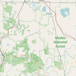
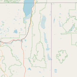
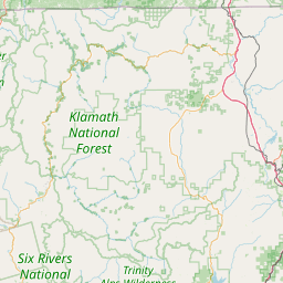
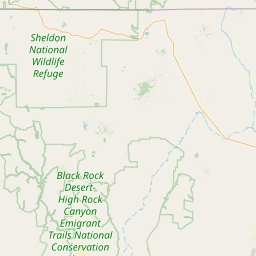
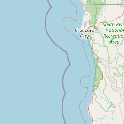
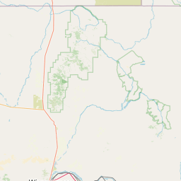
Leaflet | <a href="https://www.openstreetmap.org/copyright">© OpenStreetMap contributors</a>
Item
| Property | Value |
|---|---|
| id | 4032 |
| downstream_mainstem_id | https://geoconnex.us/ref/mainstems/1 |
| encompassing_mainstem_basins | ['https://geoconnex.us/ref/mainstems/1'] |
| featuretype | ['https://www.opengis.net/def/schema/hy_features/hyf/HY_FlowPath', 'https://www.opengis.net/def/schema/hy_features/hyf/HY_WaterBody'] |
| fid | 32337 |
| head_2020huc12 | 180200021003 |
| head_nhdpv1_comid | 7924131 |
| head_nhdpv2_comid | https://geoconnex.us/nhdplusv2/comid/7924131 |
| head_nhdpv2huc12 | https://geoconnex.us/nhdplusv2/huc12/180200021003 |
| head_rf1id | 57232 |
| lengthkm | 18.7 |
| name_at_outlet | Clover Swale Creek |
| name_at_outlet_gnis_id | 258480 |
| new_mainstemid | |
| outlet_2020huc12 | 180200021003 |
| outlet_drainagearea_sqkm | 233.9 |
| outlet_nhdpv1_comid | 7928253 |
| outlet_nhdpv2_comid | https://geoconnex.us/nhdplusv2/comid/7928253 |
| outlet_nhdpv2huc12 | https://geoconnex.us/nhdplusv2/huc12/180200021003 |
| outlet_rf1id | 57232 |
| superseded | False |
| uri | https://geoconnex.us/ref/mainstems/4032 |