Rock Creek
Map


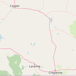


Leaflet | <a href="https://www.openstreetmap.org/copyright">© OpenStreetMap contributors</a>
Item
| Property | Value |
|---|---|
| id | 403627 |
| downstream_mainstem_id | https://geoconnex.us/ref/mainstems/345928 |
| encompassing_mainstem_basins | ['https://geoconnex.us/ref/mainstems/345928', 'https://geoconnex.us/ref/mainstems/316001', 'https://geoconnex.us/ref/mainstems/312532', 'https://geoconnex.us/ref/mainstems/312091'] |
| featuretype | ['https://www.opengis.net/def/schema/hy_features/hyf/HY_FlowPath', 'https://www.opengis.net/def/schema/hy_features/hyf/HY_WaterBody'] |
| fid | 17389 |
| head_2020huc12 | 101500060201 |
| head_nhdpv1_comid | 11653372 |
| head_nhdpv2_comid | https://geoconnex.us/nhdplusv2/comid/11653372 |
| head_nhdpv2huc12 | https://geoconnex.us/nhdplusv2/huc12/101500060201 |
| head_rf1id | 27443 |
| lengthkm | 53.0 |
| name_at_outlet | Rock Creek |
| name_at_outlet_gnis_id | 1266897 |
| new_mainstemid | |
| outlet_2020huc12 | 101500060205 |
| outlet_drainagearea_sqkm | 344.3 |
| outlet_nhdpv1_comid | 11652756 |
| outlet_nhdpv2_comid | https://geoconnex.us/nhdplusv2/comid/11652756 |
| outlet_nhdpv2huc12 | https://geoconnex.us/nhdplusv2/huc12/101500060205 |
| outlet_rf1id | 27443 |
| superseded | False |
| uri | https://geoconnex.us/ref/mainstems/403627 |