Canyon Creek
Map
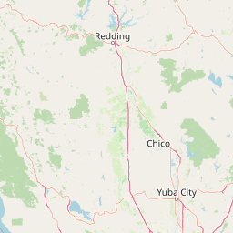
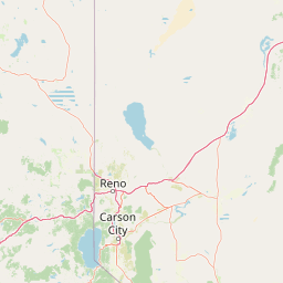
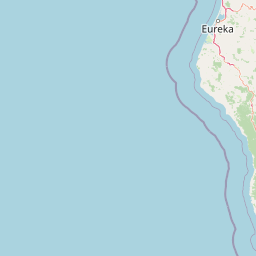
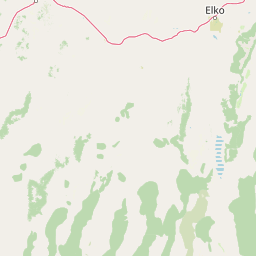

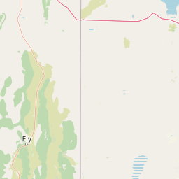
Leaflet | <a href="https://www.openstreetmap.org/copyright">© OpenStreetMap contributors</a>
Item
| Property | Value |
|---|---|
| id | 4064 |
| downstream_mainstem_id | https://geoconnex.us/ref/mainstems/490 |
| encompassing_mainstem_basins | ['https://geoconnex.us/ref/mainstems/490', 'https://geoconnex.us/ref/mainstems/322', 'https://geoconnex.us/ref/mainstems/1'] |
| featuretype | ['https://www.opengis.net/def/schema/hy_features/hyf/HY_FlowPath', 'https://www.opengis.net/def/schema/hy_features/hyf/HY_WaterBody'] |
| fid | 32507 |
| head_2020huc12 | 180201250401 |
| head_nhdpv1_comid | 8057743 |
| head_nhdpv2_comid | https://geoconnex.us/nhdplusv2/comid/8057743 |
| head_nhdpv2huc12 | https://geoconnex.us/nhdplusv2/huc12/180201250401 |
| head_rf1id | 57541 |
| lengthkm | 37.9 |
| name_at_outlet | Canyon Creek |
| name_at_outlet_gnis_id | 233633 |
| new_mainstemid | |
| outlet_2020huc12 | 180201250401 |
| outlet_drainagearea_sqkm | 158.0 |
| outlet_nhdpv1_comid | 8056769 |
| outlet_nhdpv2_comid | https://geoconnex.us/nhdplusv2/comid/8056769 |
| outlet_nhdpv2huc12 | https://geoconnex.us/nhdplusv2/huc12/180201250401 |
| outlet_rf1id | 57541 |
| superseded | False |
| uri | https://geoconnex.us/ref/mainstems/4064 |