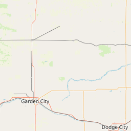
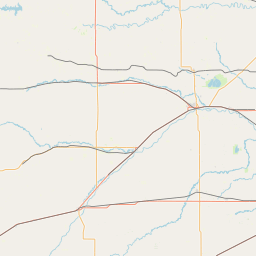
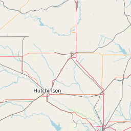
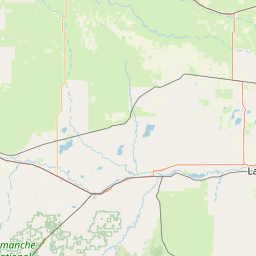
Sawmill Creek
Map

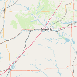
Leaflet | <a href="https://www.openstreetmap.org/copyright">© OpenStreetMap contributors</a>
Item
| Property | Value |
|---|---|
| id | 421017 |
| downstream_mainstem_id | https://geoconnex.us/ref/mainstems/347329 |
| encompassing_mainstem_basins | ['https://geoconnex.us/ref/mainstems/347329', 'https://geoconnex.us/ref/mainstems/314446', 'https://geoconnex.us/ref/mainstems/312091'] |
| featuretype | ['https://www.opengis.net/def/schema/hy_features/hyf/HY_FlowPath', 'https://www.opengis.net/def/schema/hy_features/hyf/HY_WaterBody'] |
| fid | 20310 |
| head_2020huc12 | 110300050601 |
| head_nhdpv1_comid | 21227787 |
| head_nhdpv2_comid | https://geoconnex.us/nhdplusv2/comid/21227787 |
| head_nhdpv2huc12 | https://geoconnex.us/nhdplusv2/huc12/110300050601 |
| head_rf1id | 34561 |
| lengthkm | 83.6 |
| name_at_outlet | Sawmill Creek |
| name_at_outlet_gnis_id | 475929 |
| new_mainstemid | |
| outlet_2020huc12 | 110300050604 |
| outlet_drainagearea_sqkm | 455.0 |
| outlet_nhdpv1_comid | 21227001 |
| outlet_nhdpv2_comid | https://geoconnex.us/nhdplusv2/comid/21227001 |
| outlet_nhdpv2huc12 | https://geoconnex.us/nhdplusv2/huc12/110300050604 |
| outlet_rf1id | 34561 |
| superseded | False |
| uri | https://geoconnex.us/ref/mainstems/421017 |