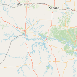
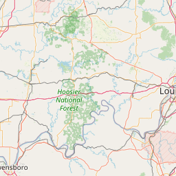
Prairie du Long Creek
Map
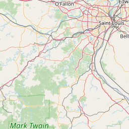
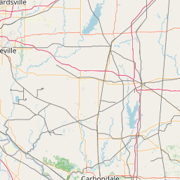
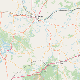
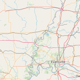
Leaflet | <a href="https://www.openstreetmap.org/copyright">© OpenStreetMap contributors</a>
Item
| Property | Value |
|---|---|
| id | 422348 |
| downstream_mainstem_id | https://geoconnex.us/ref/mainstems/385842 |
| encompassing_mainstem_basins | ['https://geoconnex.us/ref/mainstems/385842', 'https://geoconnex.us/ref/mainstems/332757', 'https://geoconnex.us/ref/mainstems/312091'] |
| featuretype | ['https://www.opengis.net/def/schema/hy_features/hyf/HY_FlowPath', 'https://www.opengis.net/def/schema/hy_features/hyf/HY_WaterBody'] |
| fid | 12731 |
| head_2020huc12 | 071402040608 |
| head_nhdpv1_comid | 13893596 |
| head_nhdpv2_comid | https://geoconnex.us/nhdplusv2/comid/13893596 |
| head_nhdpv2huc12 | https://geoconnex.us/nhdplusv2/huc12/071402040608 |
| head_rf1id | 20235 |
| lengthkm | 38.0 |
| name_at_outlet | Prairie du Long Creek |
| name_at_outlet_gnis_id | 426471 |
| new_mainstemid | |
| outlet_2020huc12 | 071402040609 |
| outlet_drainagearea_sqkm | 206.5 |
| outlet_nhdpv1_comid | 13891718 |
| outlet_nhdpv2_comid | https://geoconnex.us/nhdplusv2/comid/13891718 |
| outlet_nhdpv2huc12 | https://geoconnex.us/nhdplusv2/huc12/071402040609 |
| outlet_rf1id | 20235 |
| superseded | False |
| uri | https://geoconnex.us/ref/mainstems/422348 |