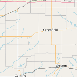
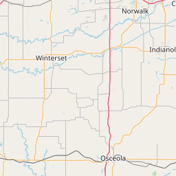
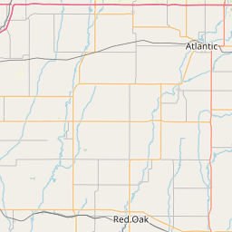
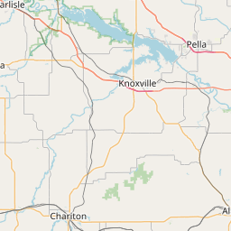
North Branch North River
Map
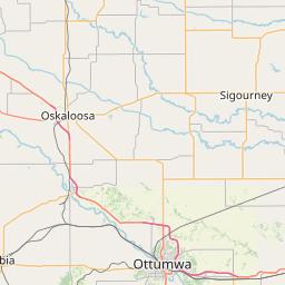
Leaflet | <a href="https://www.openstreetmap.org/copyright">© OpenStreetMap contributors</a>
Item
| Property | Value |
|---|---|
| id | 422487 |
| downstream_mainstem_id | https://geoconnex.us/ref/mainstems/359495 |
| encompassing_mainstem_basins | ['https://geoconnex.us/ref/mainstems/359495', 'https://geoconnex.us/ref/mainstems/321168', 'https://geoconnex.us/ref/mainstems/312091'] |
| featuretype | ['https://www.opengis.net/def/schema/hy_features/hyf/HY_FlowPath', 'https://www.opengis.net/def/schema/hy_features/hyf/HY_WaterBody'] |
| fid | 11941 |
| head_2020huc12 | 071000080202 |
| head_nhdpv1_comid | 22255763 |
| head_nhdpv2_comid | https://geoconnex.us/nhdplusv2/comid/22255763 |
| head_nhdpv2huc12 | https://geoconnex.us/nhdplusv2/huc12/071000080202 |
| head_rf1id | 20250 |
| lengthkm | 47.9 |
| name_at_outlet | North Branch North River |
| name_at_outlet_gnis_id | 459561 |
| new_mainstemid | |
| outlet_2020huc12 | 071000080202 |
| outlet_drainagearea_sqkm | 195.7 |
| outlet_nhdpv1_comid | 22250697 |
| outlet_nhdpv2_comid | https://geoconnex.us/nhdplusv2/comid/22250697 |
| outlet_nhdpv2huc12 | https://geoconnex.us/nhdplusv2/huc12/071000080202 |
| outlet_rf1id | 20250 |
| superseded | False |
| uri | https://geoconnex.us/ref/mainstems/422487 |