West Boulder River
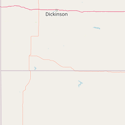
Map


Leaflet | <a href="https://www.openstreetmap.org/copyright">© OpenStreetMap contributors</a>
Item
| Property | Value |
|---|---|
| id | 424084 |
| downstream_mainstem_id | https://geoconnex.us/ref/mainstems/365758 |
| encompassing_mainstem_basins | ['https://geoconnex.us/ref/mainstems/365758', 'https://geoconnex.us/ref/mainstems/315571', 'https://geoconnex.us/ref/mainstems/312532', 'https://geoconnex.us/ref/mainstems/312091'] |
| featuretype | ['https://www.opengis.net/def/schema/hy_features/hyf/HY_FlowPath', 'https://www.opengis.net/def/schema/hy_features/hyf/HY_WaterBody'] |
| fid | 15472 |
| head_2020huc12 | 100700020802 |
| head_nhdpv1_comid | 4368344 |
| head_nhdpv2_comid | https://geoconnex.us/nhdplusv2/comid/4368344 |
| head_nhdpv2huc12 | https://geoconnex.us/nhdplusv2/huc12/100700020802 |
| head_rf1id | 31497 |
| lengthkm | 52.1 |
| name_at_outlet | West Boulder River |
| name_at_outlet_gnis_id | 792954 |
| new_mainstemid | |
| outlet_2020huc12 | 100700020805 |
| outlet_drainagearea_sqkm | 348.4 |
| outlet_nhdpv1_comid | 4364510 |
| outlet_nhdpv2_comid | https://geoconnex.us/nhdplusv2/comid/4364510 |
| outlet_nhdpv2huc12 | https://geoconnex.us/nhdplusv2/huc12/100700020805 |
| outlet_rf1id | 31493 |
| superseded | False |
| uri | https://geoconnex.us/ref/mainstems/424084 |