Sand Creek
Map
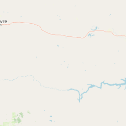
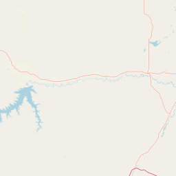
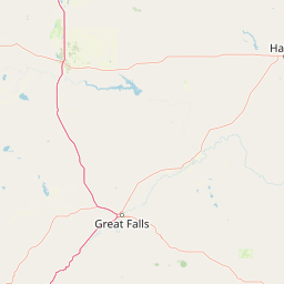
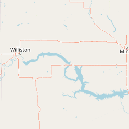

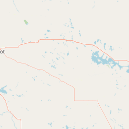
Leaflet | <a href="https://www.openstreetmap.org/copyright">© OpenStreetMap contributors</a>
Item
| Property | Value |
|---|---|
| id | 424102 |
| downstream_mainstem_id | https://geoconnex.us/ref/mainstems/312532 |
| encompassing_mainstem_basins | ['https://geoconnex.us/ref/mainstems/312532', 'https://geoconnex.us/ref/mainstems/312091'] |
| featuretype | ['https://www.opengis.net/def/schema/hy_features/hyf/HY_FlowPath', 'https://www.opengis.net/def/schema/hy_features/hyf/HY_WaterBody'] |
| fid | 15309 |
| head_2020huc12 | 100600010701 |
| head_nhdpv1_comid | 12465188 |
| head_nhdpv2_comid | https://geoconnex.us/nhdplusv2/comid/12465188 |
| head_nhdpv2huc12 | https://geoconnex.us/nhdplusv2/huc12/100600010701 |
| head_rf1id | 30786 |
| lengthkm | 60.1 |
| name_at_outlet | Sand Creek |
| name_at_outlet_gnis_id | 776188 |
| new_mainstemid | |
| outlet_2020huc12 | 100600010704 |
| outlet_drainagearea_sqkm | 524.8 |
| outlet_nhdpv1_comid | 12463790 |
| outlet_nhdpv2_comid | https://geoconnex.us/nhdplusv2/comid/12463790 |
| outlet_nhdpv2huc12 | https://geoconnex.us/nhdplusv2/huc12/100600010704 |
| outlet_rf1id | 30785 |
| superseded | False |
| uri | https://geoconnex.us/ref/mainstems/424102 |