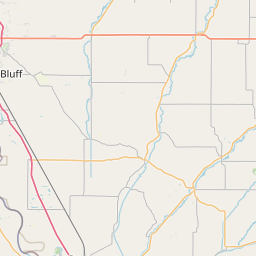
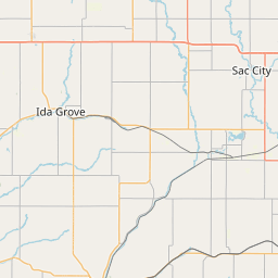
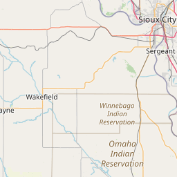
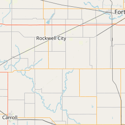
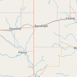
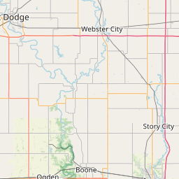
Odebolt Creek
Map
Leaflet | <a href="https://www.openstreetmap.org/copyright">© OpenStreetMap contributors</a>
Item
| Property | Value |
|---|---|
| id | 430080 |
| downstream_mainstem_id | https://geoconnex.us/ref/mainstems/351733 |
| encompassing_mainstem_basins | ['https://geoconnex.us/ref/mainstems/351733', 'https://geoconnex.us/ref/mainstems/333708', 'https://geoconnex.us/ref/mainstems/312532', 'https://geoconnex.us/ref/mainstems/312091'] |
| featuretype | ['https://www.opengis.net/def/schema/hy_features/hyf/HY_FlowPath', 'https://www.opengis.net/def/schema/hy_features/hyf/HY_WaterBody'] |
| fid | 18443 |
| head_2020huc12 | 102300050206 |
| head_nhdpv1_comid | 17226457 |
| head_nhdpv2_comid | https://geoconnex.us/nhdplusv2/comid/17226457 |
| head_nhdpv2huc12 | https://geoconnex.us/nhdplusv2/huc12/102300050206 |
| head_rf1id | 23623 |
| lengthkm | 28.8 |
| name_at_outlet | Odebolt Creek |
| name_at_outlet_gnis_id | 459801 |
| new_mainstemid | |
| outlet_2020huc12 | 102300050206 |
| outlet_drainagearea_sqkm | 158.5 |
| outlet_nhdpv1_comid | 17226477 |
| outlet_nhdpv2_comid | https://geoconnex.us/nhdplusv2/comid/17226477 |
| outlet_nhdpv2huc12 | https://geoconnex.us/nhdplusv2/huc12/102300050206 |
| outlet_rf1id | 23623 |
| superseded | False |
| uri | https://geoconnex.us/ref/mainstems/430080 |