Sugar Creek
Map
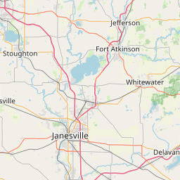
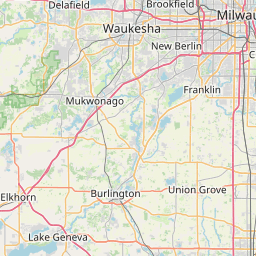
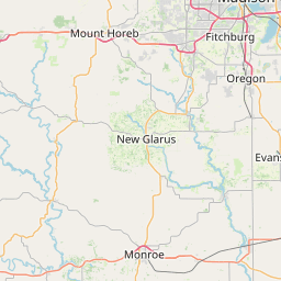
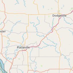
Leaflet | <a href="https://www.openstreetmap.org/copyright">© OpenStreetMap contributors</a>
Item
| Property | Value |
|---|---|
| id | 430592 |
| downstream_mainstem_id | https://geoconnex.us/ref/mainstems/422430 |
| encompassing_mainstem_basins | ['https://geoconnex.us/ref/mainstems/422430', 'https://geoconnex.us/ref/mainstems/341500', 'https://geoconnex.us/ref/mainstems/324005', 'https://geoconnex.us/ref/mainstems/312091'] |
| featuretype | ['https://www.opengis.net/def/schema/hy_features/hyf/HY_FlowPath', 'https://www.opengis.net/def/schema/hy_features/hyf/HY_WaterBody'] |
| fid | 12212 |
| head_2020huc12 | 071200060402 |
| head_nhdpv1_comid | 14768576 |
| head_nhdpv2_comid | https://geoconnex.us/nhdplusv2/comid/14768576 |
| head_nhdpv2huc12 | https://geoconnex.us/nhdplusv2/huc12/071200060402 |
| head_rf1id | 19780 |
| lengthkm | 41.0 |
| name_at_outlet | Sugar Creek |
| name_at_outlet_gnis_id | 1575019 |
| new_mainstemid | |
| outlet_2020huc12 | 071200060503 |
| outlet_drainagearea_sqkm | 397.1 |
| outlet_nhdpv1_comid | 14769384 |
| outlet_nhdpv2_comid | https://geoconnex.us/nhdplusv2/comid/14769384 |
| outlet_nhdpv2huc12 | https://geoconnex.us/nhdplusv2/huc12/071200060503 |
| outlet_rf1id | 19778 |
| superseded | False |
| uri | https://geoconnex.us/ref/mainstems/430592 |