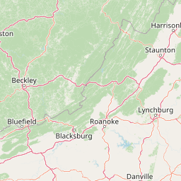
Otter Creek
Map


Leaflet | <a href="https://www.openstreetmap.org/copyright">© OpenStreetMap contributors</a>
Item
| Property | Value |
|---|---|
| id | 437671 |
| downstream_mainstem_id | https://geoconnex.us/ref/mainstems/319580 |
| encompassing_mainstem_basins | ['https://geoconnex.us/ref/mainstems/319580', 'https://geoconnex.us/ref/mainstems/314849', 'https://geoconnex.us/ref/mainstems/312091'] |
| featuretype | ['https://www.opengis.net/def/schema/hy_features/hyf/HY_FlowPath', 'https://www.opengis.net/def/schema/hy_features/hyf/HY_WaterBody'] |
| fid | 9447 |
| head_2020huc12 | 051301030501 |
| head_nhdpv1_comid | 3575624 |
| head_nhdpv2_comid | https://geoconnex.us/nhdplusv2/comid/3575624 |
| head_nhdpv2huc12 | https://geoconnex.us/nhdplusv2/huc12/051301030501 |
| head_rf1id | 15906 |
| lengthkm | 53.6 |
| name_at_outlet | Otter Creek |
| name_at_outlet_gnis_id | 500027 |
| new_mainstemid | |
| outlet_2020huc12 | 051301030505 |
| outlet_drainagearea_sqkm | 541.6 |
| outlet_nhdpv1_comid | 3577486 |
| outlet_nhdpv2_comid | https://geoconnex.us/nhdplusv2/comid/3577486 |
| outlet_nhdpv2huc12 | https://geoconnex.us/nhdplusv2/huc12/051301030505 |
| outlet_rf1id | 15912 |
| superseded | False |
| uri | https://geoconnex.us/ref/mainstems/437671 |