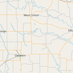
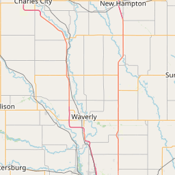
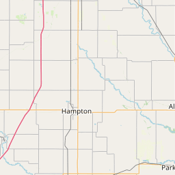
Coffins Creek
Map
Leaflet | <a href="https://www.openstreetmap.org/copyright">© OpenStreetMap contributors</a>
Item
| Property | Value |
|---|---|
| id | 440722 |
| downstream_mainstem_id | https://geoconnex.us/ref/mainstems/339940 |
| encompassing_mainstem_basins | ['https://geoconnex.us/ref/mainstems/339940', 'https://geoconnex.us/ref/mainstems/312091'] |
| featuretype | ['https://www.opengis.net/def/schema/hy_features/hyf/HY_FlowPath', 'https://www.opengis.net/def/schema/hy_features/hyf/HY_WaterBody'] |
| fid | 11219 |
| head_2020huc12 | |
| head_nhdpv1_comid | 13372547 |
| head_nhdpv2_comid | https://geoconnex.us/nhdplusv2/comid/13372547 |
| head_nhdpv2huc12 | |
| head_rf1id | 18497 |
| lengthkm | 20.6 |
| name_at_outlet | Coffins Creek |
| name_at_outlet_gnis_id | 455512 |
| new_mainstemid | |
| outlet_2020huc12 | |
| outlet_drainagearea_sqkm | 144.1 |
| outlet_nhdpv1_comid | 13376023 |
| outlet_nhdpv2_comid | https://geoconnex.us/nhdplusv2/comid/13376023 |
| outlet_nhdpv2huc12 | |
| outlet_rf1id | 18497 |
| superseded | False |
| uri | https://geoconnex.us/ref/mainstems/440722 |