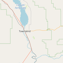
Middle Fork Sixteenmile Creek
Map
Leaflet | <a href="https://www.openstreetmap.org/copyright">© OpenStreetMap contributors</a>
Item
| Property | Value |
|---|---|
| id | 451186 |
| downstream_mainstem_id | https://geoconnex.us/ref/mainstems/374750 |
| encompassing_mainstem_basins | ['https://geoconnex.us/ref/mainstems/374750', 'https://geoconnex.us/ref/mainstems/312532', 'https://geoconnex.us/ref/mainstems/312091'] |
| featuretype | ['https://www.opengis.net/def/schema/hy_features/hyf/HY_FlowPath', 'https://www.opengis.net/def/schema/hy_features/hyf/HY_WaterBody'] |
| fid | 14698 |
| head_2020huc12 | 100301010301 |
| head_nhdpv1_comid | 3030798 |
| head_nhdpv2_comid | https://geoconnex.us/nhdplusv2/comid/3030798 |
| head_nhdpv2huc12 | https://geoconnex.us/nhdplusv2/huc12/100301010301 |
| head_rf1id | 29188 |
| lengthkm | 25.9 |
| name_at_outlet | Middle Fork Sixteenmile Creek |
| name_at_outlet_gnis_id | 787307 |
| new_mainstemid | |
| outlet_2020huc12 | 100301010302 |
| outlet_drainagearea_sqkm | 289.9 |
| outlet_nhdpv1_comid | 3028382 |
| outlet_nhdpv2_comid | https://geoconnex.us/nhdplusv2/comid/3028382 |
| outlet_nhdpv2huc12 | https://geoconnex.us/nhdplusv2/huc12/100301010302 |
| outlet_rf1id | 29183 |
| superseded | False |
| uri | https://geoconnex.us/ref/mainstems/451186 |