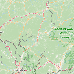
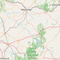
Right Fork Holly River
Map
Leaflet | <a href="https://www.openstreetmap.org/copyright">© OpenStreetMap contributors</a>
Item
| Property | Value |
|---|---|
| id | 458504 |
| downstream_mainstem_id | https://geoconnex.us/ref/mainstems/418329 |
| encompassing_mainstem_basins | ['https://geoconnex.us/ref/mainstems/418329', 'https://geoconnex.us/ref/mainstems/332574', 'https://geoconnex.us/ref/mainstems/322043', 'https://geoconnex.us/ref/mainstems/314849', 'https://geoconnex.us/ref/mainstems/312091'] |
| featuretype | ['https://www.opengis.net/def/schema/hy_features/hyf/HY_FlowPath', 'https://www.opengis.net/def/schema/hy_features/hyf/HY_WaterBody'] |
| fid | 8268 |
| head_2020huc12 | 050500070302 |
| head_nhdpv1_comid | 19321457 |
| head_nhdpv2_comid | https://geoconnex.us/nhdplusv2/comid/19321457 |
| head_nhdpv2huc12 | https://geoconnex.us/nhdplusv2/huc12/050500070302 |
| head_rf1id | 15984 |
| lengthkm | 34.8 |
| name_at_outlet | Right Fork Holly River |
| name_at_outlet_gnis_id | 1545650 |
| new_mainstemid | |
| outlet_2020huc12 | 050500070303 |
| outlet_drainagearea_sqkm | 164.1 |
| outlet_nhdpv1_comid | 19322163 |
| outlet_nhdpv2_comid | https://geoconnex.us/nhdplusv2/comid/19322163 |
| outlet_nhdpv2huc12 | https://geoconnex.us/nhdplusv2/huc12/050500070303 |
| outlet_rf1id | 15990 |
| superseded | False |
| uri | https://geoconnex.us/ref/mainstems/458504 |