Freeman Creek
Map
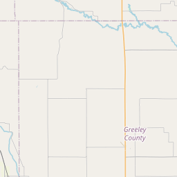
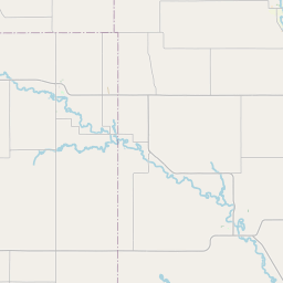
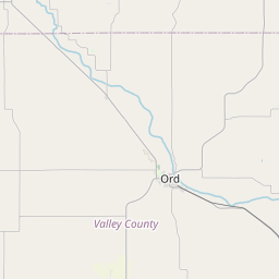
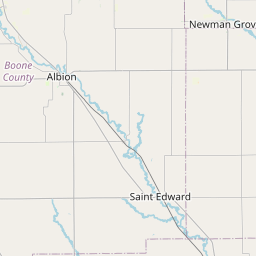
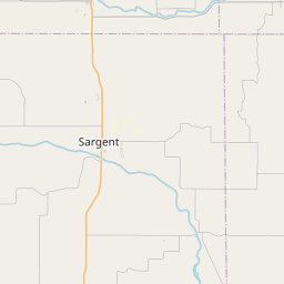

Leaflet | <a href="https://www.openstreetmap.org/copyright">© OpenStreetMap contributors</a>
Item
| Property | Value |
|---|---|
| id | 461383 |
| downstream_mainstem_id | https://geoconnex.us/ref/mainstems/350186 |
| encompassing_mainstem_basins | ['https://geoconnex.us/ref/mainstems/350186', 'https://geoconnex.us/ref/mainstems/324283', 'https://geoconnex.us/ref/mainstems/313255', 'https://geoconnex.us/ref/mainstems/312532', 'https://geoconnex.us/ref/mainstems/312091'] |
| featuretype | ['https://www.opengis.net/def/schema/hy_features/hyf/HY_FlowPath', 'https://www.opengis.net/def/schema/hy_features/hyf/HY_WaterBody'] |
| fid | 18302 |
| head_2020huc12 | 102100100403 |
| head_nhdpv1_comid | 17297320 |
| head_nhdpv2_comid | https://geoconnex.us/nhdplusv2/comid/17297320 |
| head_nhdpv2huc12 | https://geoconnex.us/nhdplusv2/huc12/102100100403 |
| head_rf1id | 23359 |
| lengthkm | 27.9 |
| name_at_outlet | Freeman Creek |
| name_at_outlet_gnis_id | 829404 |
| new_mainstemid | |
| outlet_2020huc12 | 102100100403 |
| outlet_drainagearea_sqkm | 145.4 |
| outlet_nhdpv1_comid | 17297768 |
| outlet_nhdpv2_comid | https://geoconnex.us/nhdplusv2/comid/17297768 |
| outlet_nhdpv2huc12 | https://geoconnex.us/nhdplusv2/huc12/102100100403 |
| outlet_rf1id | 23359 |
| superseded | False |
| uri | https://geoconnex.us/ref/mainstems/461383 |