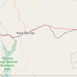
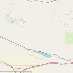
Coalbank Creek
Map
Leaflet | <a href="https://www.openstreetmap.org/copyright">© OpenStreetMap contributors</a>
Item
| Property | Value |
|---|---|
| id | 461611 |
| downstream_mainstem_id | https://geoconnex.us/ref/mainstems/440049 |
| encompassing_mainstem_basins | ['https://geoconnex.us/ref/mainstems/440049', 'https://geoconnex.us/ref/mainstems/387700', 'https://geoconnex.us/ref/mainstems/353399', 'https://geoconnex.us/ref/mainstems/314333', 'https://geoconnex.us/ref/mainstems/313255', 'https://geoconnex.us/ref/mainstems/312532', 'https://geoconnex.us/ref/mainstems/312091'] |
| featuretype | ['https://www.opengis.net/def/schema/hy_features/hyf/HY_FlowPath', 'https://www.opengis.net/def/schema/hy_features/hyf/HY_WaterBody'] |
| fid | 17718 |
| head_2020huc12 | 101800040102 |
| head_nhdpv1_comid | 15968389 |
| head_nhdpv2_comid | https://geoconnex.us/nhdplusv2/comid/15968389 |
| head_nhdpv2huc12 | https://geoconnex.us/nhdplusv2/huc12/101800040203 |
| head_rf1id | 22247 |
| lengthkm | 24.5 |
| name_at_outlet | Coalbank Creek |
| name_at_outlet_gnis_id | 1586853 |
| new_mainstemid | |
| outlet_2020huc12 | 101800040102 |
| outlet_drainagearea_sqkm | 91.7 |
| outlet_nhdpv1_comid | 15968207 |
| outlet_nhdpv2_comid | https://geoconnex.us/nhdplusv2/comid/15968207 |
| outlet_nhdpv2huc12 | https://geoconnex.us/nhdplusv2/huc12/101800040203 |
| outlet_rf1id | 22239 |
| superseded | False |
| uri | https://geoconnex.us/ref/mainstems/461611 |