Spring Brook
Map
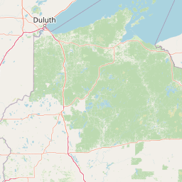
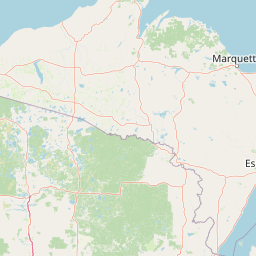


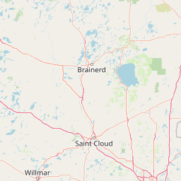
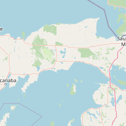

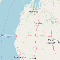
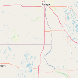
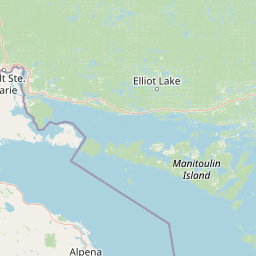

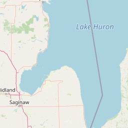
Leaflet | <a href="https://www.openstreetmap.org/copyright">© OpenStreetMap contributors</a>
Item
| Property | Value |
|---|---|
| id | 462563 |
| downstream_mainstem_id | https://geoconnex.us/ref/mainstems/365099 |
| encompassing_mainstem_basins | ['https://geoconnex.us/ref/mainstems/365099', 'https://geoconnex.us/ref/mainstems/323742', 'https://geoconnex.us/ref/mainstems/312091'] |
| featuretype | ['https://www.opengis.net/def/schema/hy_features/hyf/HY_FlowPath', 'https://www.opengis.net/def/schema/hy_features/hyf/HY_WaterBody'] |
| fid | 11277 |
| head_2020huc12 | 070700021102 |
| head_nhdpv1_comid | 14727210 |
| head_nhdpv2_comid | https://geoconnex.us/nhdplusv2/comid/937070251 |
| head_nhdpv2huc12 | https://geoconnex.us/nhdplusv2/huc12/070700021102 |
| head_rf1id | 18532 |
| lengthkm | 31.0 |
| name_at_outlet | Spring Brook |
| name_at_outlet_gnis_id | 1574599 |
| new_mainstemid | |
| outlet_2020huc12 | 070700021103 |
| outlet_drainagearea_sqkm | 171.2 |
| outlet_nhdpv1_comid | 14728608 |
| outlet_nhdpv2_comid | https://geoconnex.us/nhdplusv2/comid/14728608 |
| outlet_nhdpv2huc12 | https://geoconnex.us/nhdplusv2/huc12/070700021103 |
| outlet_rf1id | 18532 |
| superseded | False |
| uri | https://geoconnex.us/ref/mainstems/462563 |