West Branch Sunrise River
Map
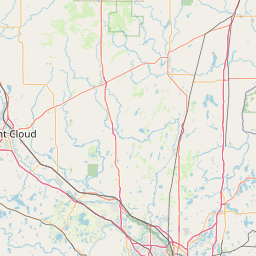
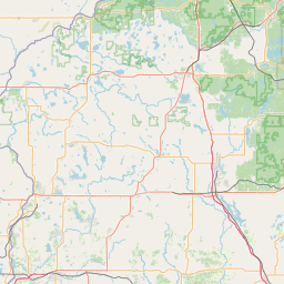
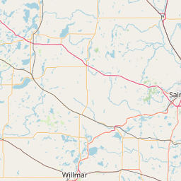
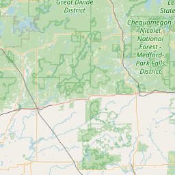
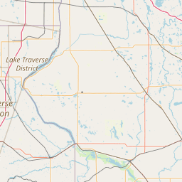
Leaflet | <a href="https://www.openstreetmap.org/copyright">© OpenStreetMap contributors</a>
Item
| Property | Value |
|---|---|
| id | 468297 |
| downstream_mainstem_id | https://geoconnex.us/ref/mainstems/408011 |
| encompassing_mainstem_basins | ['https://geoconnex.us/ref/mainstems/408011', 'https://geoconnex.us/ref/mainstems/330183', 'https://geoconnex.us/ref/mainstems/312091'] |
| featuretype | ['https://www.opengis.net/def/schema/hy_features/hyf/HY_FlowPath', 'https://www.opengis.net/def/schema/hy_features/hyf/HY_WaterBody'] |
| fid | 10816 |
| head_2020huc12 | 070300050405 |
| head_nhdpv1_comid | 2650928 |
| head_nhdpv2_comid | https://geoconnex.us/nhdplusv2/comid/2650928 |
| head_nhdpv2huc12 | https://geoconnex.us/nhdplusv2/huc12/070300050405 |
| head_rf1id | None |
| lengthkm | 25.9 |
| name_at_outlet | West Branch Sunrise River |
| name_at_outlet_gnis_id | 653940 |
| new_mainstemid | |
| outlet_2020huc12 | 070300050405 |
| outlet_drainagearea_sqkm | 158.3 |
| outlet_nhdpv1_comid | 2649360 |
| outlet_nhdpv2_comid | https://geoconnex.us/nhdplusv2/comid/2649360 |
| outlet_nhdpv2huc12 | https://geoconnex.us/nhdplusv2/huc12/070300050405 |
| outlet_rf1id | None |
| superseded | False |
| uri | https://geoconnex.us/ref/mainstems/468297 |