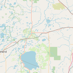
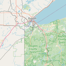
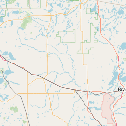
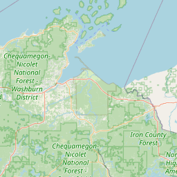
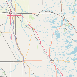
Pine River
Map
Leaflet | <a href="https://www.openstreetmap.org/copyright">© OpenStreetMap contributors</a>
Item
| Property | Value |
|---|---|
| id | 468302 |
| downstream_mainstem_id | https://geoconnex.us/ref/mainstems/363492 |
| encompassing_mainstem_basins | ['https://geoconnex.us/ref/mainstems/363492', 'https://geoconnex.us/ref/mainstems/330183', 'https://geoconnex.us/ref/mainstems/312091'] |
| featuretype | ['https://www.opengis.net/def/schema/hy_features/hyf/HY_FlowPath', 'https://www.opengis.net/def/schema/hy_features/hyf/HY_WaterBody'] |
| fid | 10778 |
| head_2020huc12 | 070300030401 |
| head_nhdpv1_comid | 2631198 |
| head_nhdpv2_comid | https://geoconnex.us/nhdplusv2/comid/2631198 |
| head_nhdpv2huc12 | https://geoconnex.us/nhdplusv2/huc12/070300030401 |
| head_rf1id | 17932 |
| lengthkm | 41.9 |
| name_at_outlet | Pine River |
| name_at_outlet_gnis_id | 649495 |
| new_mainstemid | |
| outlet_2020huc12 | 070300030406 |
| outlet_drainagearea_sqkm | 377.0 |
| outlet_nhdpv1_comid | 2629788 |
| outlet_nhdpv2_comid | https://geoconnex.us/nhdplusv2/comid/2629788 |
| outlet_nhdpv2huc12 | https://geoconnex.us/nhdplusv2/huc12/070300030406 |
| outlet_rf1id | 17932 |
| superseded | False |
| uri | https://geoconnex.us/ref/mainstems/468302 |