Credit River
Map


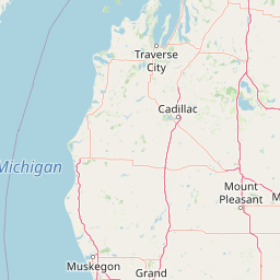
Leaflet | <a href="https://www.openstreetmap.org/copyright">© OpenStreetMap contributors</a>
Item
| Property | Value |
|---|---|
| id | 468316 |
| downstream_mainstem_id | |
| encompassing_mainstem_basins | |
| featuretype | ['https://www.opengis.net/def/schema/hy_features/hyf/HY_FlowPath', 'https://www.opengis.net/def/schema/hy_features/hyf/HY_WaterBody'] |
| fid | 33969 |
| head_2020huc12 | |
| head_nhdpv1_comid | 1877361 |
| head_nhdpv2_comid | https://geoconnex.us/nhdplusv2/comid/1877361 |
| head_nhdpv2huc12 | https://geoconnex.us/nhdplusv2/huc12/070200121107 |
| head_rf1id | None |
| lengthkm | 36.2 |
| name_at_outlet | Credit River |
| name_at_outlet_gnis_id | 663182 |
| new_mainstemid | ['https://geoconnex.us/ref/mainstems/1312490'] |
| outlet_2020huc12 | |
| outlet_drainagearea_sqkm | 157.4 |
| outlet_nhdpv1_comid | 2387084 |
| outlet_nhdpv2_comid | https://geoconnex.us/nhdplusv2/comid/2387084 |
| outlet_nhdpv2huc12 | https://geoconnex.us/nhdplusv2/huc12/070200121107 |
| outlet_rf1id | None |
| superseded | True |
| uri | https://geoconnex.us/ref/mainstems/468316 |