East Branch Tionesta Creek
Map
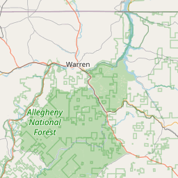
Leaflet | <a href="https://www.openstreetmap.org/copyright">© OpenStreetMap contributors</a>
Item
| Property | Value |
|---|---|
| id | 507682 |
| downstream_mainstem_id | https://geoconnex.us/ref/mainstems/463950 |
| encompassing_mainstem_basins | ['https://geoconnex.us/ref/mainstems/463950', 'https://geoconnex.us/ref/mainstems/374540', 'https://geoconnex.us/ref/mainstems/314849', 'https://geoconnex.us/ref/mainstems/312091'] |
| featuretype | ['https://www.opengis.net/def/schema/hy_features/hyf/HY_FlowPath', 'https://www.opengis.net/def/schema/hy_features/hyf/HY_WaterBody'] |
| fid | 7616 |
| head_2020huc12 | 050100030201 |
| head_nhdpv1_comid | 10218382 |
| head_nhdpv2_comid | https://geoconnex.us/nhdplusv2/comid/10218382 |
| head_nhdpv2huc12 | https://geoconnex.us/nhdplusv2/huc12/050100030201 |
| head_rf1id | None |
| lengthkm | 28.0 |
| name_at_outlet | East Branch Tionesta Creek |
| name_at_outlet_gnis_id | 1210169 |
| new_mainstemid | |
| outlet_2020huc12 | 050100030201 |
| outlet_drainagearea_sqkm | 91.3 |
| outlet_nhdpv1_comid | 10219168 |
| outlet_nhdpv2_comid | https://geoconnex.us/nhdplusv2/comid/10219168 |
| outlet_nhdpv2huc12 | https://geoconnex.us/nhdplusv2/huc12/050100030201 |
| outlet_rf1id | None |
| superseded | False |
| uri | https://geoconnex.us/ref/mainstems/507682 |