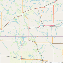
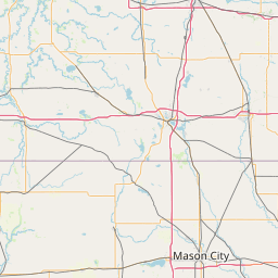
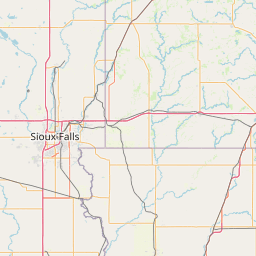
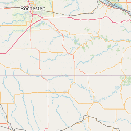
Cedar Creek
Map
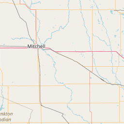
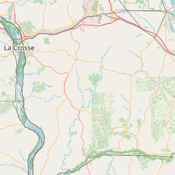
Leaflet | <a href="https://www.openstreetmap.org/copyright">© OpenStreetMap contributors</a>
Item
| Property | Value |
|---|---|
| id | 557651 |
| downstream_mainstem_id | https://geoconnex.us/ref/mainstems/417965 |
| encompassing_mainstem_basins | ['https://geoconnex.us/ref/mainstems/417965', 'https://geoconnex.us/ref/mainstems/365119', 'https://geoconnex.us/ref/mainstems/326740', 'https://geoconnex.us/ref/mainstems/312091'] |
| featuretype | ['https://www.opengis.net/def/schema/hy_features/hyf/HY_FlowPath', 'https://www.opengis.net/def/schema/hy_features/hyf/HY_WaterBody'] |
| fid | 10680 |
| head_2020huc12 | 070200090904 |
| head_nhdpv1_comid | 2748506 |
| head_nhdpv2_comid | https://geoconnex.us/nhdplusv2/comid/2748506 |
| head_nhdpv2huc12 | https://geoconnex.us/nhdplusv2/huc12/070200090904 |
| head_rf1id | 17784 |
| lengthkm | 31.2 |
| name_at_outlet | Cedar Creek |
| name_at_outlet_gnis_id | 640996 |
| new_mainstemid | |
| outlet_2020huc12 | 070200090904 |
| outlet_drainagearea_sqkm | 138.1 |
| outlet_nhdpv1_comid | 2748606 |
| outlet_nhdpv2_comid | https://geoconnex.us/nhdplusv2/comid/2748606 |
| outlet_nhdpv2huc12 | https://geoconnex.us/nhdplusv2/huc12/070200090904 |
| outlet_rf1id | 17784 |
| superseded | False |
| uri | https://geoconnex.us/ref/mainstems/557651 |