/
https://geoconnex.us/ref/hu08/16040202
JSON
JSON-LD
Resources
Collections
Processes
Documentation
Geoconnex Docs
API Definition
Conformance
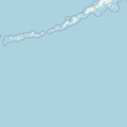
Lower Quinn
Map
+
−
Leaflet
| <a href="https://www.openstreetmap.org/copyright">© OpenStreetMap contributors</a>
Previous
Next
Item
Property
Value
id
16040202
fid
199
gnis_id
None
gnis_url
hucs
https://geoconnex.us/ref/hu10/1604020214
https://geoconnex.us/ref/hu10/1604020216
https://geoconnex.us/ref/hu10/1604020206
https://geoconnex.us/ref/hu10/1604020213
https://geoconnex.us/ref/hu10/1604020215
https://geoconnex.us/ref/hu10/1604020207
https://geoconnex.us/ref/hu10/1604020211
https://geoconnex.us/ref/hu10/1604020212
https://geoconnex.us/ref/hu10/1604020204
https://geoconnex.us/ref/hu10/1604020210
https://geoconnex.us/ref/hu10/1604020201
https://geoconnex.us/ref/hu10/1604020205
https://geoconnex.us/ref/hu10/1604020209
https://geoconnex.us/ref/hu10/1604020208
https://geoconnex.us/ref/hu10/1604020203
https://geoconnex.us/ref/hu10/1604020202
loaddate
2012-06-11 12:54:56+00:00
name
Lower Quinn
uri
https://geoconnex.us/ref/hu08/16040202