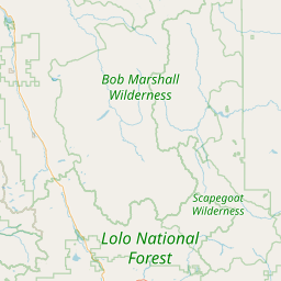
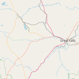
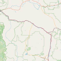
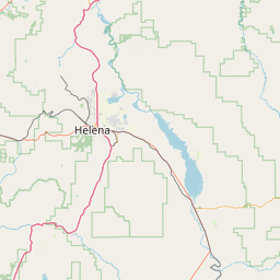
Beaver Creek
Map
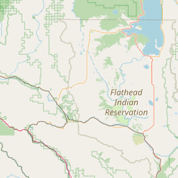
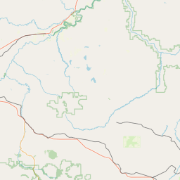
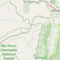
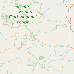
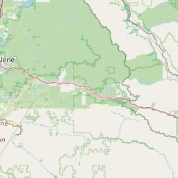
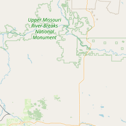
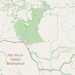
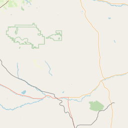
Leaflet | <a href="https://www.openstreetmap.org/copyright">© OpenStreetMap contributors</a>
Item
| Property | Value |
|---|---|
| id | 1447341 |
| downstream_mainstem_id | https://geoconnex.us/ref/mainstems/1428490 |
| encompassing_mainstem_basins | ['https://geoconnex.us/ref/mainstems/1428490', 'https://geoconnex.us/ref/mainstems/1423587'] |
| featuretype | ['https://www.opengis.net/def/schema/hy_features/hyf/HY_FlowPath', 'https://www.opengis.net/def/schema/hy_features/hyf/HY_WaterBody'] |
| fid | 28675 |
| head_2020huc12 | 170102030303 |
| head_nhdpv1_comid | 22916518 |
| head_nhdpv2_comid | https://geoconnex.us/nhdplusv2/comid/22916518 |
| head_nhdpv2huc12 | https://geoconnex.us/nhdplusv2/huc12/170102030303 |
| head_rf1id | 45902 |
| lengthkm | 15.7 |
| name_at_outlet | Beaver Creek |
| name_at_outlet_gnis_id | 800428 |
| new_mainstemid | |
| outlet_2020huc12 | 170102030304 |
| outlet_drainagearea_sqkm | 159.4 |
| outlet_nhdpv1_comid | 22913054 |
| outlet_nhdpv2_comid | https://geoconnex.us/nhdplusv2/comid/22913054 |
| outlet_nhdpv2huc12 | https://geoconnex.us/nhdplusv2/huc12/170102030304 |
| outlet_rf1id | 45902 |
| superseded | False |
| uri | https://geoconnex.us/ref/mainstems/1447341 |