Item 2060121
Map
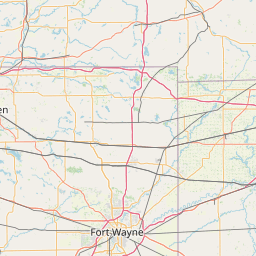
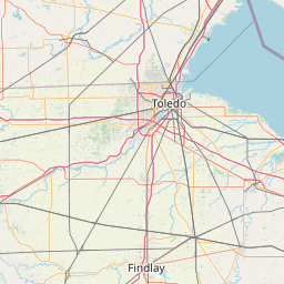
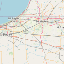
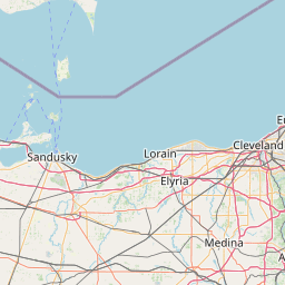
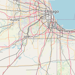
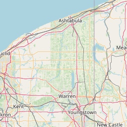
Leaflet | <a href="https://www.openstreetmap.org/copyright">© OpenStreetMap contributors</a>
Item
| Property | Value |
|---|---|
| id | 2060121 |
| downstream_mainstem_id | https://geoconnex.us/ref/mainstems/2060002 |
| encompassing_mainstem_basins | ['https://geoconnex.us/ref/mainstems/2060002'] |
| featuretype | ['https://www.opengis.net/def/schema/hy_features/hyf/HY_FlowPath', 'https://www.opengis.net/def/schema/hy_features/hyf/HY_WaterBody'] |
| fid | 7073 |
| head_2020huc12 | 041000020302 |
| head_nhdpv1_comid | 13230206 |
| head_nhdpv2_comid | https://geoconnex.us/nhdplusv2/comid/13230206 |
| head_nhdpv2huc12 | https://geoconnex.us/nhdplusv2/huc12/041000020302 |
| head_rf1id | 11217 |
| lengthkm | 60.4 |
| name_at_outlet | |
| name_at_outlet_gnis_id | None |
| new_mainstemid | |
| outlet_2020huc12 | 041000020306 |
| outlet_drainagearea_sqkm | 389.3 |
| outlet_nhdpv1_comid | 13229280 |
| outlet_nhdpv2_comid | https://geoconnex.us/nhdplusv2/comid/13229280 |
| outlet_nhdpv2huc12 | https://geoconnex.us/nhdplusv2/huc12/041000020306 |
| outlet_rf1id | 11216 |
| superseded | False |
| uri | https://geoconnex.us/ref/mainstems/2060121 |